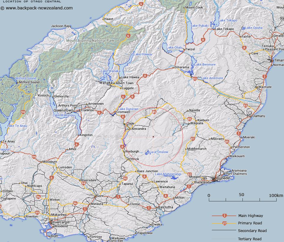
Map showing location of Otago Central


LINZ description: Area in the greater Otago Region, including localities such as Alexandra, Clyde and Roxburgh.
Latitude: -45.350509
Longitude: 169.696148
Northing: 4972800
Easting: 1341200
Land District: Otago
Feat Type: Area


Scroll down to see a more detailed road map and below that a topographical map showing the location of Otago Central. The road map has been supplied by openstreetmap and the topographical map of Otago Central has been supplied by Land Information New Zealand (LINZ).

Yes you can use the top static map for you school/university project or personal website with a link back. Contact me for any commercial use.

Otago Central Map New Zealand


New Zealand places in our database
[ A ] [ B ] [ C ] [ D ] [ E ] [ F ] [ G ] [ H ] [ I ] [ J ] [ K ] [ L ] [ M ] [ N ] [ O ] [ P ] [ Q ] [ R ] [ S ] [ T ] [ U ] [ V ] [ W ] [ X ] [ Y ] [ Z ]


Closest 20 Areas to Otago Central

Otago Central ( 0km )   Central Otago ( 0km )   Sams Basin ( 118.29km )   Haldon Downs ( 123.04km )   The Catlins ( 124.26km )   Jumboland ( 133.26km )   Collier Downs ( 136km )   Butler Downs ( 208.92km )   Brabazon Downs ( 214.56km )   Bush Basin ( 235km )   Taylors Camp ( 266.39km )   Logans Mistake ( 284.6km )   Paddys Bend ( 304.04km )   Templers Islands ( 308.2km )   Templars Islands ( 308.2km )   Little Den ( 333.61km )   Waiau Irrigation Scheme ( 386.74km )   Amuri Plain ( 387.16km )   Calf Paddock ( 390.39km )   Lockington Pakihi ( 410.56km )   Welshman Pakihi ( 433.76km )   Dublin Terrace ( 437.53km )   Smokers Hole ( 472.15km )   Kangaroo Corner ( 505.52km )   Gunner Downs ( 520.87km )   Beathams Clearing ( 551.97km )   Pikikirunga / Canaan Downs ( 554.39km )   Moa Park ( 556.8km )   Devils Dining Table ( 570.8km )   Hipaua Thermal Area ( 867.27km )   Leitchs Clearing ( 876.3km )   Maioro ( 982.63km )   Crosbies Settlement ( 1046.88km )   East Coast Bays ( 1047.4km )