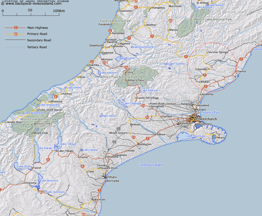
Map showing location of Waiau Irrigation Scheme
LINZ description: That area on Amuri Plain bounded to the south by Balmoral Forest and Hurunui River, on the north to Waiau River with Lowry Peaks Range to the east
Latitude: -42.747681
Longitude: 172.907137
Northing: 5267200
Easting: 1592400
Land District: Canterbury
Feat Type: Area
Latitude: -42.747681
Longitude: 172.907137
Northing: 5267200
Easting: 1592400
Land District: Canterbury
Feat Type: Area

Scroll down to see a more detailed road map and below that a topographical map showing the location of Waiau Irrigation Scheme. The road map has been supplied by openstreetmap and the topographical map of Waiau Irrigation Scheme has been supplied by Land Information New Zealand (LINZ).
Yes you can use the top static map for you school/university project or personal website with a link back. Contact me for any commercial use.
[ A ] [ B ] [ C ] [ D ] [ E ] [ F ] [ G ] [ H ] [ I ] [ J ] [ K ] [ L ] [ M ] [ N ] [ O ] [ P ] [ Q ] [ R ] [ S ] [ T ] [ U ] [ V ] [ W ] [ X ] [ Y ] [ Z ]