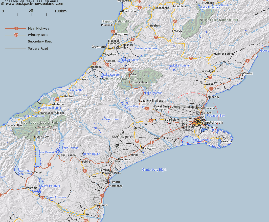
Map showing location of Templars Islands
LINZ description: Rural area located between the Waimakariri River and the Christchurch International Airport
Latitude: -43.457243
Longitude: 172.530292
Northing: 5188300
Easting: 1562000
Land District: Canterbury
Feat Type: Area
Latitude: -43.457243
Longitude: 172.530292
Northing: 5188300
Easting: 1562000
Land District: Canterbury
Feat Type: Area

Scroll down to see a more detailed road map and below that a topographical map showing the location of Templars Islands. The road map has been supplied by openstreetmap and the topographical map of Templars Islands has been supplied by Land Information New Zealand (LINZ).
Yes you can use the top static map for you school/university project or personal website with a link back. Contact me for any commercial use.
[ A ] [ B ] [ C ] [ D ] [ E ] [ F ] [ G ] [ H ] [ I ] [ J ] [ K ] [ L ] [ M ] [ N ] [ O ] [ P ] [ Q ] [ R ] [ S ] [ T ] [ U ] [ V ] [ W ] [ X ] [ Y ] [ Z ]