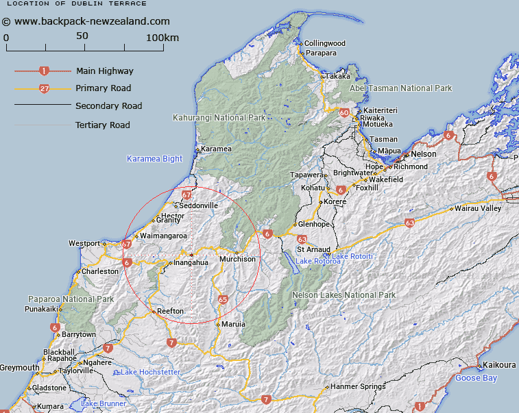
Map showing location of Dublin Terrace
LINZ description: Terrace below Manuka Flat, east of Lyall around Dublin Creek, wher the highest point of SH6 passes in this area.
Latitude: -41.810804
Longitude: 172.069996
Northing: 5370811.6
Easting: 1522751.2
Land District: Nelson
Feat Type: Area
Latitude: -41.810804
Longitude: 172.069996
Northing: 5370811.6
Easting: 1522751.2
Land District: Nelson
Feat Type: Area

Scroll down to see a more detailed road map and below that a topographical map showing the location of Dublin Terrace. The road map has been supplied by openstreetmap and the topographical map of Dublin Terrace has been supplied by Land Information New Zealand (LINZ).
Yes you can use the top static map for you school/university project or personal website with a link back. Contact me for any commercial use.
[ A ] [ B ] [ C ] [ D ] [ E ] [ F ] [ G ] [ H ] [ I ] [ J ] [ K ] [ L ] [ M ] [ N ] [ O ] [ P ] [ Q ] [ R ] [ S ] [ T ] [ U ] [ V ] [ W ] [ X ] [ Y ] [ Z ]