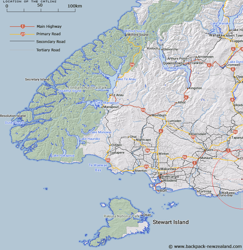
Map showing location of The Catlins
LINZ description: South-eastern extremity of the South Island. Defined generally as being bounded by the coastline from Clutha River/Mata-Au in the north to Mataura River at Fortrose in the south. The inland boundary includes headwaters and catchments of rivers and streams in the area that flows to the coast, and includes Catlins Conservation Park.
Latitude: -46.45126
Longitude: 169.418858
Northing: 4849578.9
Easting: 1324975.7
Land District: Southland, Otago
Feat Type: Area
Latitude: -46.45126
Longitude: 169.418858
Northing: 4849578.9
Easting: 1324975.7
Land District: Southland, Otago
Feat Type: Area

Scroll down to see a more detailed road map and below that a topographical map showing the location of The Catlins. The road map has been supplied by openstreetmap and the topographical map of The Catlins has been supplied by Land Information New Zealand (LINZ).
Yes you can use the top static map for you school/university project or personal website with a link back. Contact me for any commercial use.
[ A ] [ B ] [ C ] [ D ] [ E ] [ F ] [ G ] [ H ] [ I ] [ J ] [ K ] [ L ] [ M ] [ N ] [ O ] [ P ] [ Q ] [ R ] [ S ] [ T ] [ U ] [ V ] [ W ] [ X ] [ Y ] [ Z ]