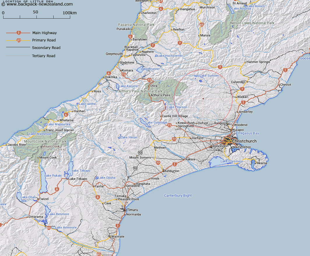
Map showing location of Little Den


LINZ description: An area on the west side of Okuku River about 1 1/2 miles north of Mt Gordon and near the Den Hut
Latitude: -42.987889
Longitude: 172.274949
Northing: 5240275.1
Easting: 1540890.6
Land District: Canterbury
Feat Type: Area


Scroll down to see a more detailed road map and below that a topographical map showing the location of Little Den. The road map has been supplied by openstreetmap and the topographical map of Little Den has been supplied by Land Information New Zealand (LINZ).

Yes you can use the top static map for you school/university project or personal website with a link back. Contact me for any commercial use.

Little Den Map New Zealand


New Zealand places in our database
[ A ] [ B ] [ C ] [ D ] [ E ] [ F ] [ G ] [ H ] [ I ] [ J ] [ K ] [ L ] [ M ] [ N ] [ O ] [ P ] [ Q ] [ R ] [ S ] [ T ] [ U ] [ V ] [ W ] [ X ] [ Y ] [ Z ]


Closest 20 Areas to Little Den

Paddys Bend ( 46.99km )   Templers Islands ( 56.14km )   Templars Islands ( 56.14km )   Waiau Irrigation Scheme ( 58.03km )   Amuri Plain ( 58.41km )   Calf Paddock ( 70.99km )   Logans Mistake ( 78.5km )   Taylors Camp ( 84.14km )   Bush Basin ( 121.94km )   Dublin Terrace ( 131.96km )   Welshman Pakihi ( 132.09km )   Brabazon Downs ( 133.44km )   Butler Downs ( 135.09km )   Lockington Pakihi ( 136.28km )   Smokers Hole ( 140.45km )   Kangaroo Corner ( 173.9km )   Collier Downs ( 204.14km )   Haldon Downs ( 211.77km )   Gunner Downs ( 217.62km )   Pikikirunga / Canaan Downs ( 233.06km )   Moa Park ( 234.68km )   Beathams Clearing ( 239.2km )   Devils Dining Table ( 257.47km )   Sams Basin ( 280.34km )   Jumboland ( 302.12km )   Otago Central ( 333.61km )   Central Otago ( 333.61km )   The Catlins ( 446.28km )   Hipaua Thermal Area ( 533.97km )   Leitchs Clearing ( 548.64km )   Maioro ( 659.94km )   Crosbies Settlement ( 719.04km )   East Coast Bays ( 727.11km )