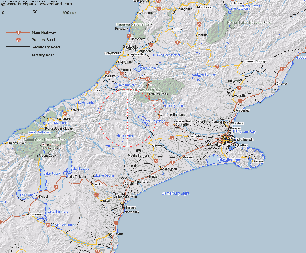
Map showing location of Taylors Camp
LINZ description: An area in the Mathias River valley, on the northern edge of the river flat, 5.75km West North-west of Mount Algidus Station. Block I Oakden Survey District.
Latitude: -43.248127
Longitude: 171.301482
Northing: 5210229.9
Easting: 1462113.7
Land District: Canterbury
Feat Type: Area
Latitude: -43.248127
Longitude: 171.301482
Northing: 5210229.9
Easting: 1462113.7
Land District: Canterbury
Feat Type: Area

Scroll down to see a more detailed road map and below that a topographical map showing the location of Taylors Camp. The road map has been supplied by openstreetmap and the topographical map of Taylors Camp has been supplied by Land Information New Zealand (LINZ).
Yes you can use the top static map for you school/university project or personal website with a link back. Contact me for any commercial use.
[ A ] [ B ] [ C ] [ D ] [ E ] [ F ] [ G ] [ H ] [ I ] [ J ] [ K ] [ L ] [ M ] [ N ] [ O ] [ P ] [ Q ] [ R ] [ S ] [ T ] [ U ] [ V ] [ W ] [ X ] [ Y ] [ Z ]