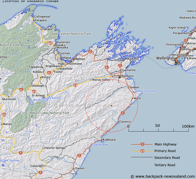
Map showing location of Kangaroo Corner
LINZ description: The general area of a tributary of the Swale Stream, 1km West of Sleepy Peak, at the West end of the Chalk Range. Block I, Whernside Survey District.
Latitude: -41.927922
Longitude: 173.833663
Northing: 5357890.4
Easting: 1669120.1
Land District: Marlborough
Feat Type: Area
Latitude: -41.927922
Longitude: 173.833663
Northing: 5357890.4
Easting: 1669120.1
Land District: Marlborough
Feat Type: Area

Scroll down to see a more detailed road map and below that a topographical map showing the location of Kangaroo Corner. The road map has been supplied by openstreetmap and the topographical map of Kangaroo Corner has been supplied by Land Information New Zealand (LINZ).
Yes you can use the top static map for you school/university project or personal website with a link back. Contact me for any commercial use.
[ A ] [ B ] [ C ] [ D ] [ E ] [ F ] [ G ] [ H ] [ I ] [ J ] [ K ] [ L ] [ M ] [ N ] [ O ] [ P ] [ Q ] [ R ] [ S ] [ T ] [ U ] [ V ] [ W ] [ X ] [ Y ] [ Z ]