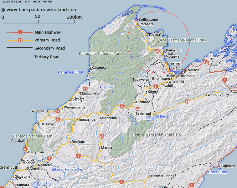
Map showing location of Moa Park
LINZ description: Open area just west of Porter Rock, in the headwaters of Table Creek. Abel Tasman National Park. Blocks VIII and XI Totaranui Survey District.
Latitude: -40.935768
Longitude: 172.938081
Northing: 5468371.4
Easting: 1594787.5
Land District: Nelson
Feat Type: Area
Latitude: -40.935768
Longitude: 172.938081
Northing: 5468371.4
Easting: 1594787.5
Land District: Nelson
Feat Type: Area

Scroll down to see a more detailed road map and below that a topographical map showing the location of Moa Park. The road map has been supplied by openstreetmap and the topographical map of Moa Park has been supplied by Land Information New Zealand (LINZ).
Yes you can use the top static map for you school/university project or personal website with a link back. Contact me for any commercial use.
[ A ] [ B ] [ C ] [ D ] [ E ] [ F ] [ G ] [ H ] [ I ] [ J ] [ K ] [ L ] [ M ] [ N ] [ O ] [ P ] [ Q ] [ R ] [ S ] [ T ] [ U ] [ V ] [ W ] [ X ] [ Y ] [ Z ]