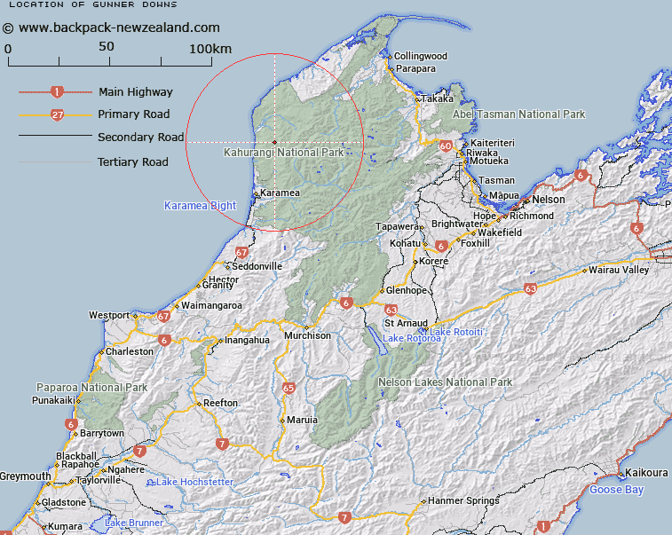
Map showing location of Gunner Downs
LINZ description: An area of open country of approximately 1200 hectares, North of Trig. 1221 (Geodetic Code B1TG), North-west end of the Domett Range. Kahurangi National Park. Whakapoai Survey District.
Latitude: -41.031846
Longitude: 172.186863
Northing: 5457389.3
Easting: 1531646.5
Land District: Nelson
Feat Type: Area
Latitude: -41.031846
Longitude: 172.186863
Northing: 5457389.3
Easting: 1531646.5
Land District: Nelson
Feat Type: Area

Scroll down to see a more detailed road map and below that a topographical map showing the location of Gunner Downs. The road map has been supplied by openstreetmap and the topographical map of Gunner Downs has been supplied by Land Information New Zealand (LINZ).
Yes you can use the top static map for you school/university project or personal website with a link back. Contact me for any commercial use.
[ A ] [ B ] [ C ] [ D ] [ E ] [ F ] [ G ] [ H ] [ I ] [ J ] [ K ] [ L ] [ M ] [ N ] [ O ] [ P ] [ Q ] [ R ] [ S ] [ T ] [ U ] [ V ] [ W ] [ X ] [ Y ] [ Z ]