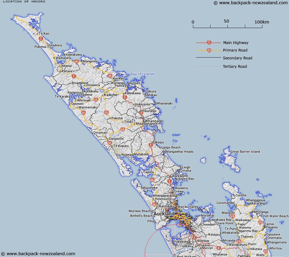
Map showing location of Maioro
LINZ description: The ironsands mining area at the north head, Waikato River. In Blocks VI, VII, and VIII, Maioro Survey District
Latitude: -37.354817
Longitude: 174.723686
Northing: 5864372
Easting: 1752657.3
Land District: North Auckland
Feat Type: Area
Latitude: -37.354817
Longitude: 174.723686
Northing: 5864372
Easting: 1752657.3
Land District: North Auckland
Feat Type: Area

Scroll down to see a more detailed road map and below that a topographical map showing the location of Maioro. The road map has been supplied by openstreetmap and the topographical map of Maioro has been supplied by Land Information New Zealand (LINZ).
Yes you can use the top static map for you school/university project or personal website with a link back. Contact me for any commercial use.
[ A ] [ B ] [ C ] [ D ] [ E ] [ F ] [ G ] [ H ] [ I ] [ J ] [ K ] [ L ] [ M ] [ N ] [ O ] [ P ] [ Q ] [ R ] [ S ] [ T ] [ U ] [ V ] [ W ] [ X ] [ Y ] [ Z ]