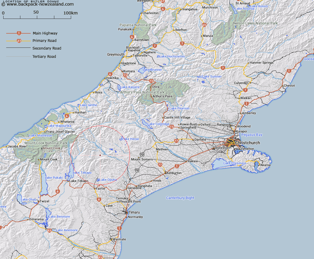
Map showing location of Butler Downs
LINZ description: Gentle sloping area on Mesopotamia Station between the lower slopes of the Sinclair Range and the right bank Rangitata River flats, between Forest Creek and Scour Stream. Block XV Sinclair Survey District.
Latitude: -43.679986
Longitude: 170.902165
Northing: 5161530.9
Easting: 1430904.8
Land District: Canterbury
Feat Type: Area
Latitude: -43.679986
Longitude: 170.902165
Northing: 5161530.9
Easting: 1430904.8
Land District: Canterbury
Feat Type: Area

Scroll down to see a more detailed road map and below that a topographical map showing the location of Butler Downs. The road map has been supplied by openstreetmap and the topographical map of Butler Downs has been supplied by Land Information New Zealand (LINZ).
Yes you can use the top static map for you school/university project or personal website with a link back. Contact me for any commercial use.
[ A ] [ B ] [ C ] [ D ] [ E ] [ F ] [ G ] [ H ] [ I ] [ J ] [ K ] [ L ] [ M ] [ N ] [ O ] [ P ] [ Q ] [ R ] [ S ] [ T ] [ U ] [ V ] [ W ] [ X ] [ Y ] [ Z ]