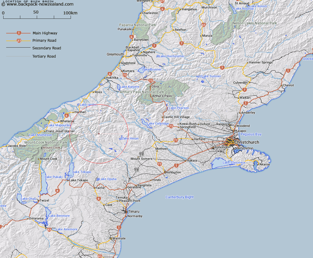
Map showing location of Bush Basin
LINZ description: Flat basin area on western side of Lawrence River, upstream of Lawrence Hut, 5.5km upstream from Clyde River. Block III Clyde Survey District.
Latitude: -43.41705
Longitude: 170.89044
Northing: 5190709.4
Easting: 1429218.6
Land District: Canterbury
Feat Type: Area
Latitude: -43.41705
Longitude: 170.89044
Northing: 5190709.4
Easting: 1429218.6
Land District: Canterbury
Feat Type: Area

Scroll down to see a more detailed road map and below that a topographical map showing the location of Bush Basin. The road map has been supplied by openstreetmap and the topographical map of Bush Basin has been supplied by Land Information New Zealand (LINZ).
Yes you can use the top static map for you school/university project or personal website with a link back. Contact me for any commercial use.
[ A ] [ B ] [ C ] [ D ] [ E ] [ F ] [ G ] [ H ] [ I ] [ J ] [ K ] [ L ] [ M ] [ N ] [ O ] [ P ] [ Q ] [ R ] [ S ] [ T ] [ U ] [ V ] [ W ] [ X ] [ Y ] [ Z ]