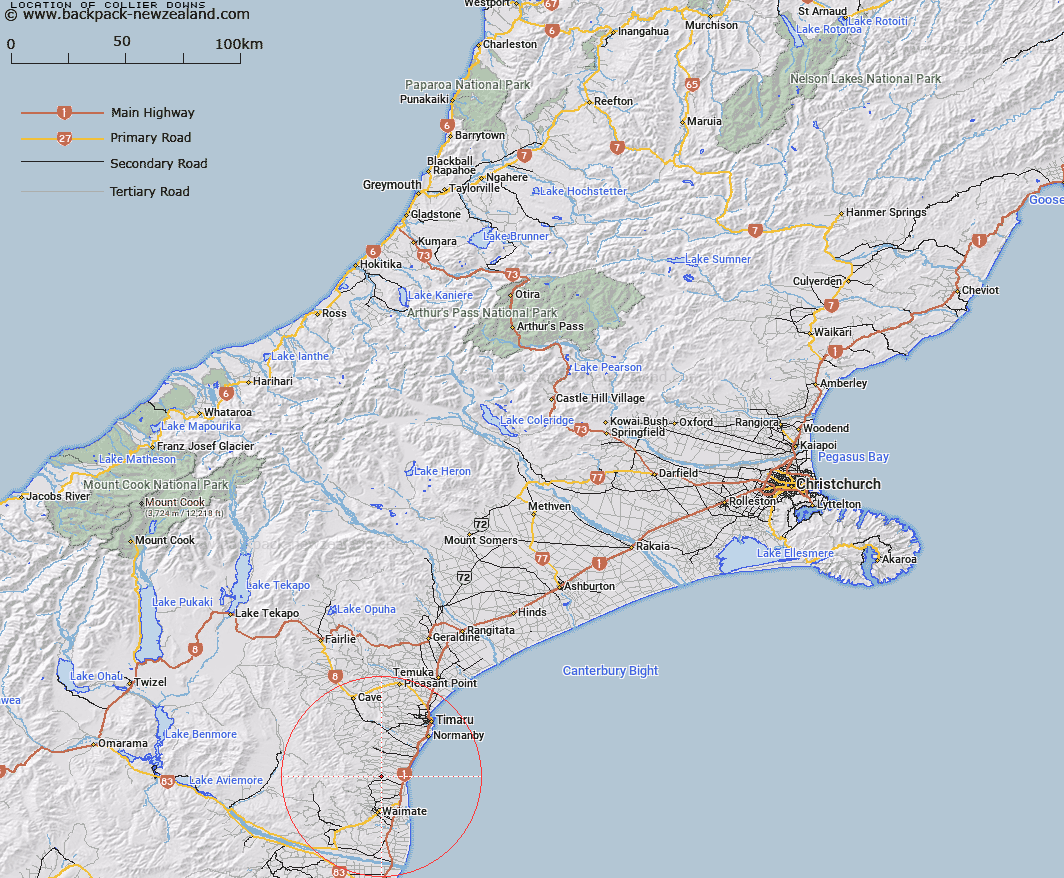
Map showing location of Collier Downs
LINZ description: An area extending from the Otaio River south to the Hook River and forming an arc to the foothills of the Hunters Hills from the sea coast. Otaio and Waimate Survey Districts.
Latitude: -44.602364
Longitude: 171.06403
Northing: 5059397.4
Easting: 1446363.8
Land District: Canterbury
Feat Type: Area
Latitude: -44.602364
Longitude: 171.06403
Northing: 5059397.4
Easting: 1446363.8
Land District: Canterbury
Feat Type: Area

Scroll down to see a more detailed road map and below that a topographical map showing the location of Collier Downs. The road map has been supplied by openstreetmap and the topographical map of Collier Downs has been supplied by Land Information New Zealand (LINZ).
Yes you can use the top static map for you school/university project or personal website with a link back. Contact me for any commercial use.
[ A ] [ B ] [ C ] [ D ] [ E ] [ F ] [ G ] [ H ] [ I ] [ J ] [ K ] [ L ] [ M ] [ N ] [ O ] [ P ] [ Q ] [ R ] [ S ] [ T ] [ U ] [ V ] [ W ] [ X ] [ Y ] [ Z ]