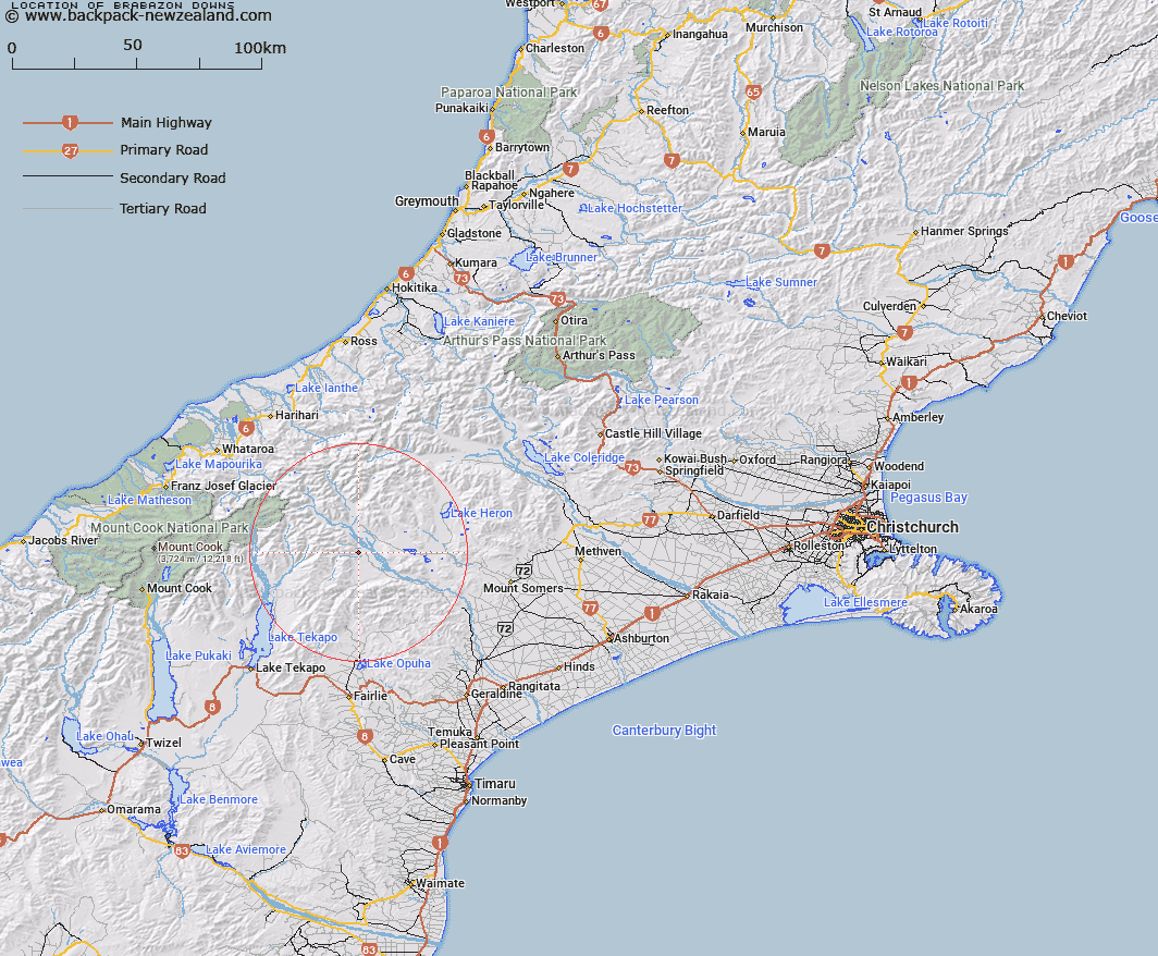
Map showing location of Brabazon Downs
LINZ description: Gentle sloping area between the eastern end of the Brabazon Range and the Rangitata River flats south of the Black Birch Creek - Rangitata River junction. Blocks X and XI Sinclair Survey District.
Latitude: -43.610478
Longitude: 170.865271
Northing: 5169175
Easting: 1427732.3
Land District: Canterbury
Feat Type: Area
Latitude: -43.610478
Longitude: 170.865271
Northing: 5169175
Easting: 1427732.3
Land District: Canterbury
Feat Type: Area

Scroll down to see a more detailed road map and below that a topographical map showing the location of Brabazon Downs. The road map has been supplied by openstreetmap and the topographical map of Brabazon Downs has been supplied by Land Information New Zealand (LINZ).
Yes you can use the top static map for you school/university project or personal website with a link back. Contact me for any commercial use.
[ A ] [ B ] [ C ] [ D ] [ E ] [ F ] [ G ] [ H ] [ I ] [ J ] [ K ] [ L ] [ M ] [ N ] [ O ] [ P ] [ Q ] [ R ] [ S ] [ T ] [ U ] [ V ] [ W ] [ X ] [ Y ] [ Z ]