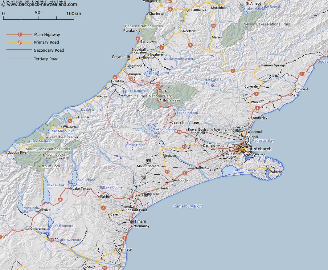
Map showing location of Logans Mistake
LINZ description: Bluffs above the river flat on the western side of Wilberforce River, due East of Mount Findlay. Block II Wilberforce Survey District.
Latitude: -43.069327
Longitude: 171.315687
Northing: 5230109.8
Easting: 1462867.5
Land District: Canterbury
Feat Type: Area
Latitude: -43.069327
Longitude: 171.315687
Northing: 5230109.8
Easting: 1462867.5
Land District: Canterbury
Feat Type: Area

Scroll down to see a more detailed road map and below that a topographical map showing the location of Logans Mistake. The road map has been supplied by openstreetmap and the topographical map of Logans Mistake has been supplied by Land Information New Zealand (LINZ).
Yes you can use the top static map for you school/university project or personal website with a link back. Contact me for any commercial use.
[ A ] [ B ] [ C ] [ D ] [ E ] [ F ] [ G ] [ H ] [ I ] [ J ] [ K ] [ L ] [ M ] [ N ] [ O ] [ P ] [ Q ] [ R ] [ S ] [ T ] [ U ] [ V ] [ W ] [ X ] [ Y ] [ Z ]