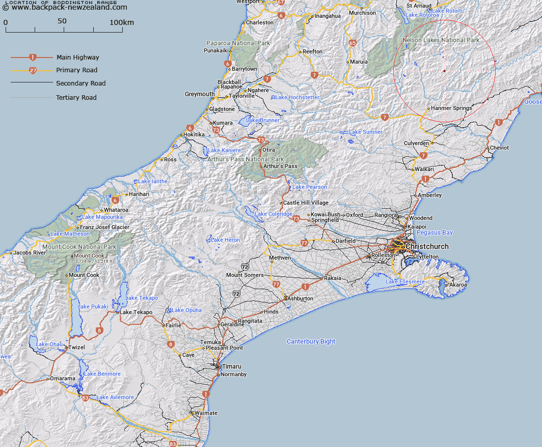
Map showing location of Boddington Range
LINZ description: Mountain range lying between the Alma and Acheron Rivers and extending generally North-eastwards from Mount Northumberland [Trig. W (Geodetic Code A7YU)], through Alma Saddle, and Elder Peak (Geodetic Code A7Q8), to Trig. D (Geodetic Code A7PX). Blocks I and V Severn, and Blocks VIII, XI, XII, XIV, and XV Alma Survey Districts.
Latitude: -42.253117
Longitude: 172.947839
Northing: 5322118.6
Easting: 1595697.3
Land District: Canterbury
Feat Type: Range
Latitude: -42.253117
Longitude: 172.947839
Northing: 5322118.6
Easting: 1595697.3
Land District: Canterbury
Feat Type: Range

Scroll down to see a more detailed road map and below that a topographical map showing the location of Boddington Range. The road map has been supplied by openstreetmap and the topographical map of Boddington Range has been supplied by Land Information New Zealand (LINZ).
Yes you can use the top static map for you school/university project or personal website with a link back. Contact me for any commercial use.
[ A ] [ B ] [ C ] [ D ] [ E ] [ F ] [ G ] [ H ] [ I ] [ J ] [ K ] [ L ] [ M ] [ N ] [ O ] [ P ] [ Q ] [ R ] [ S ] [ T ] [ U ] [ V ] [ W ] [ X ] [ Y ] [ Z ]