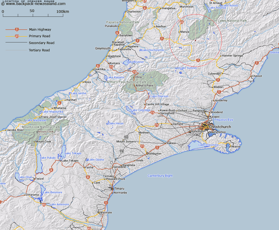
Map showing location of Spenser Range


LINZ description: After poet Edmund Spenser
Latitude: -42.307869
Longitude: 172.461278
Northing: 5315900
Easting: 1555600
Land District: Canterbury, Nelson
Feat Type: Range


Scroll down to see a more detailed road map and below that a topographical map showing the location of Spenser Range. The road map has been supplied by openstreetmap and the topographical map of Spenser Range has been supplied by Land Information New Zealand (LINZ).

Yes you can use the top static map for you school/university project or personal website with a link back. Contact me for any commercial use.

Spenser Range Map New Zealand


New Zealand places in our database
[ A ] [ B ] [ C ] [ D ] [ E ] [ F ] [ G ] [ H ] [ I ] [ J ] [ K ] [ L ] [ M ] [ N ] [ O ] [ P ] [ Q ] [ R ] [ S ] [ T ] [ U ] [ V ] [ W ] [ X ] [ Y ] [ Z ]


Closest 20 Ranges to Spenser Range

Opera Range ( 6.77km )   Freyberg Range ( 8.09km )   Libretto Range ( 14.36km )   Sylvia Tops ( 21.41km )   St James Range ( 22.14km )   Poplars Range ( 24.53km )   Ella Range ( 26.65km )   The Dreadnought ( 28.42km )   Crimea Range ( 31.85km )   Doubtful Range ( 32.94km )   St Arnaud Range ( 35.39km )   Mahanga Range ( 35.43km )   Hanmer Range ( 37.99km )   Glynn Wye Range ( 39.85km )   Boddington Range ( 40.49km )   Tekoa Range ( 41.62km )   Organ Range ( 41.85km )   Culverden Range ( 44.54km )   The Nelson Tops ( 44.95km )   Victoria Range ( 45.01km )   The Little Island Hills ( 45.99km )   The Big Island Hills ( 47.38km )   The Brothers ( 49.9km )   Travers Range ( 50.58km )   The Braes ( 52.56km )   The Sisters ( 52.76km )   Rachel Range ( 55.22km )   The Hooligan ( 55.67km )   Muntz Range ( 55.72km )   Crawford Range ( 56.26km )   Oronoko Range ( 57.28km )   Brunner Range ( 58.84km )   Amuri Range ( 58.96km )   Studleigh Range ( 60.54km )   Old Man Hills ( 60.56km )   Braeburn Range ( 61.67km )   Raglan Range ( 63.33km )   Black Hills ( 64.42km )   The Humps ( 64.73km )   Cavendish Hills ( 65.49km )