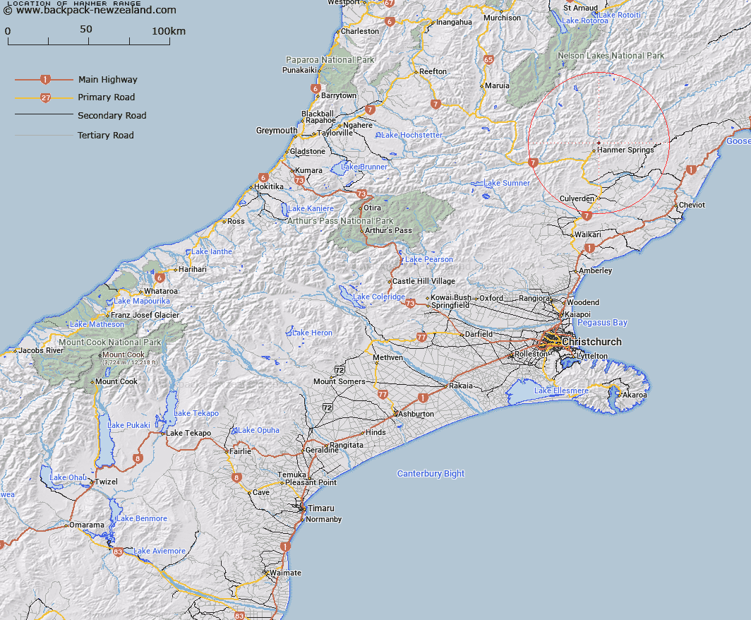
Map showing location of Hanmer Range
LINZ description: Mountain range commencing at Handyside Hill [Trig. V (Geodetic Code A8BE)] and extending generally north-easterly and easterly through Mounts Scaife, Captain [Trig. DT (Geodetic Code B25U)], and Charon [Trig. M (Geodetic Code B25V)], Dumblane Peak [Trig. T (Geodetic Code B25R)], Mounts Isobel [Trig. PH (Geodetic Code B262)], Percival [Trig. MP (Geodetic Code 1162)], and Balfour [Trig. G (Geodetic Code B7BX)] and Hossack Saddle to a point on the Amuri Range (1301m) reference Topo50 BU25 032964. Blocks II, V, and VI Tekoa, Blocks XIV, XV, and XVI Dillon, Blocks XII, XIII, XIV, XV, and XVI Percival, and Blocks IX, and XIII Terako Survey Districts.
Latitude: -42.48344
Longitude: 172.858095
Northing: 5296536
Easting: 1588337.1
Land District: Canterbury
Feat Type: Range
Latitude: -42.48344
Longitude: 172.858095
Northing: 5296536
Easting: 1588337.1
Land District: Canterbury
Feat Type: Range

Scroll down to see a more detailed road map and below that a topographical map showing the location of Hanmer Range. The road map has been supplied by openstreetmap and the topographical map of Hanmer Range has been supplied by Land Information New Zealand (LINZ).
Yes you can use the top static map for you school/university project or personal website with a link back. Contact me for any commercial use.
[ A ] [ B ] [ C ] [ D ] [ E ] [ F ] [ G ] [ H ] [ I ] [ J ] [ K ] [ L ] [ M ] [ N ] [ O ] [ P ] [ Q ] [ R ] [ S ] [ T ] [ U ] [ V ] [ W ] [ X ] [ Y ] [ Z ]