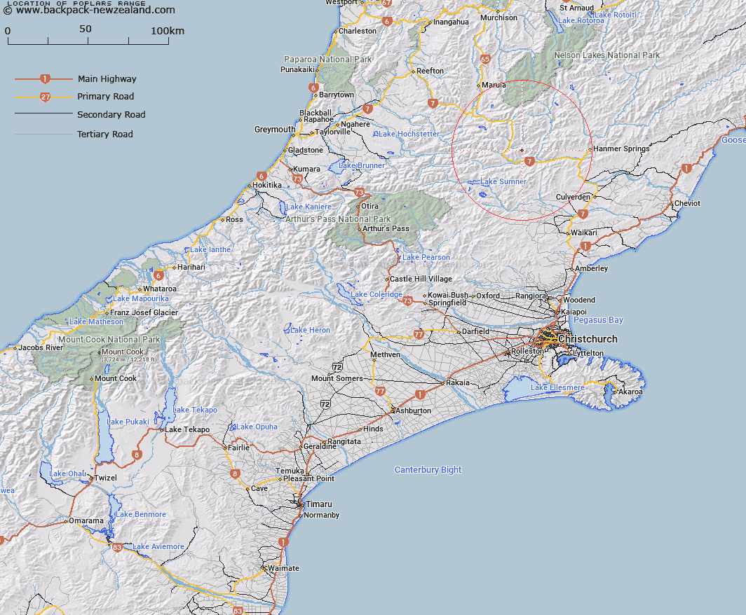
Map showing location of Poplars Range
LINZ description: Mountain range commencing at Garnet Peak [Trig. L (Geodetic Code A8H6)], above the confluence of the Boyle and Lewis Rivers and extending generally north-easterly to Mount St. Andrew [Trig. Z (Geodetic Code A8BC)]. Blocks III and IV Skiddaw, and Block I Tekoa Survey Districts.
Latitude: -42.528473
Longitude: 172.457356
Northing: 5291402.7
Easting: 1555433.2
Land District: Canterbury
Feat Type: Range
Latitude: -42.528473
Longitude: 172.457356
Northing: 5291402.7
Easting: 1555433.2
Land District: Canterbury
Feat Type: Range

Scroll down to see a more detailed road map and below that a topographical map showing the location of Poplars Range. The road map has been supplied by openstreetmap and the topographical map of Poplars Range has been supplied by Land Information New Zealand (LINZ).
Yes you can use the top static map for you school/university project or personal website with a link back. Contact me for any commercial use.
[ A ] [ B ] [ C ] [ D ] [ E ] [ F ] [ G ] [ H ] [ I ] [ J ] [ K ] [ L ] [ M ] [ N ] [ O ] [ P ] [ Q ] [ R ] [ S ] [ T ] [ U ] [ V ] [ W ] [ X ] [ Y ] [ Z ]