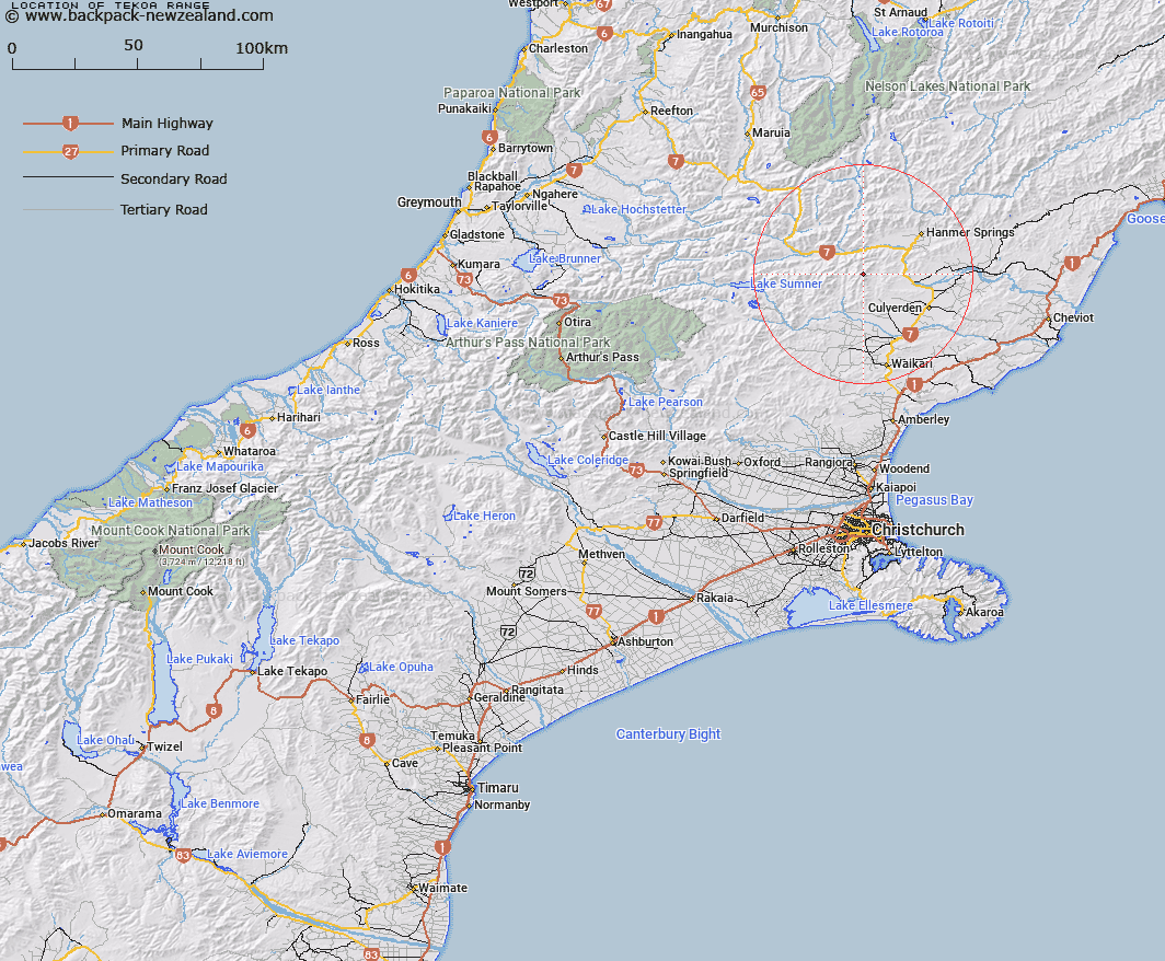
Map showing location of Tekoa Range
LINZ description: Mountain range extending southwards generally from a point just south of Shale Peak [Trig. J (Geodetic Code A8CC)] on the Organ Range, through Mount Tekoa [Trig. M (Geodetic Code A8CE)], and peak Te Kooti [Trig. L (Geodetic Code A8D0)], to peak Charing Cross [Trig. S (Geodetic Code 1152)]. Blocks X and XIV Tekoa, and Blocks II and VI Mandamus Survey Districts.
Latitude: -42.66185
Longitude: 172.62607
Northing: 5276667.3
Easting: 1569355
Land District: Canterbury
Feat Type: Range
Latitude: -42.66185
Longitude: 172.62607
Northing: 5276667.3
Easting: 1569355
Land District: Canterbury
Feat Type: Range

Scroll down to see a more detailed road map and below that a topographical map showing the location of Tekoa Range. The road map has been supplied by openstreetmap and the topographical map of Tekoa Range has been supplied by Land Information New Zealand (LINZ).
Yes you can use the top static map for you school/university project or personal website with a link back. Contact me for any commercial use.
[ A ] [ B ] [ C ] [ D ] [ E ] [ F ] [ G ] [ H ] [ I ] [ J ] [ K ] [ L ] [ M ] [ N ] [ O ] [ P ] [ Q ] [ R ] [ S ] [ T ] [ U ] [ V ] [ W ] [ X ] [ Y ] [ Z ]