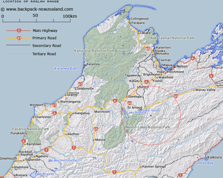
Map showing location of Raglan Range
LINZ description: Mountain range extending south-westerly from approximately height 691m at reference Topo50 BR26 142831, 4km South of the junction of the Wairau and Branch Rivers in Marlborough Land District, through Blowhard Peak [Trig. G (Geodetic Code A4BA)], Trig. A (Geodetic Code A442), Trig. B (Geodetic Code A5AT), southward East of Misery Stream and Branch River, then West of Judges Creek to and including Stafford Ridge through Trig BW (Geodetic Code A6H3), to approximately height 1555m at reference Topo50 936388, 1.7km North-east of the junction of Wairau River and Horse Gully in Nelson Land District and forming divide between the Wairau River and Branch River valleys. Patriarch, Leatham, Raglan, Molesworth, Rotoiti, Wairau, and Humboldt Survey Districts.
Latitude: -41.880166
Longitude: 172.968095
Northing: 5363528.2
Easting: 1597352.7
Land District: Nelson, Marlborough
Feat Type: Range
Latitude: -41.880166
Longitude: 172.968095
Northing: 5363528.2
Easting: 1597352.7
Land District: Nelson, Marlborough
Feat Type: Range

Scroll down to see a more detailed road map and below that a topographical map showing the location of Raglan Range. The road map has been supplied by openstreetmap and the topographical map of Raglan Range has been supplied by Land Information New Zealand (LINZ).
Yes you can use the top static map for you school/university project or personal website with a link back. Contact me for any commercial use.
[ A ] [ B ] [ C ] [ D ] [ E ] [ F ] [ G ] [ H ] [ I ] [ J ] [ K ] [ L ] [ M ] [ N ] [ O ] [ P ] [ Q ] [ R ] [ S ] [ T ] [ U ] [ V ] [ W ] [ X ] [ Y ] [ Z ]