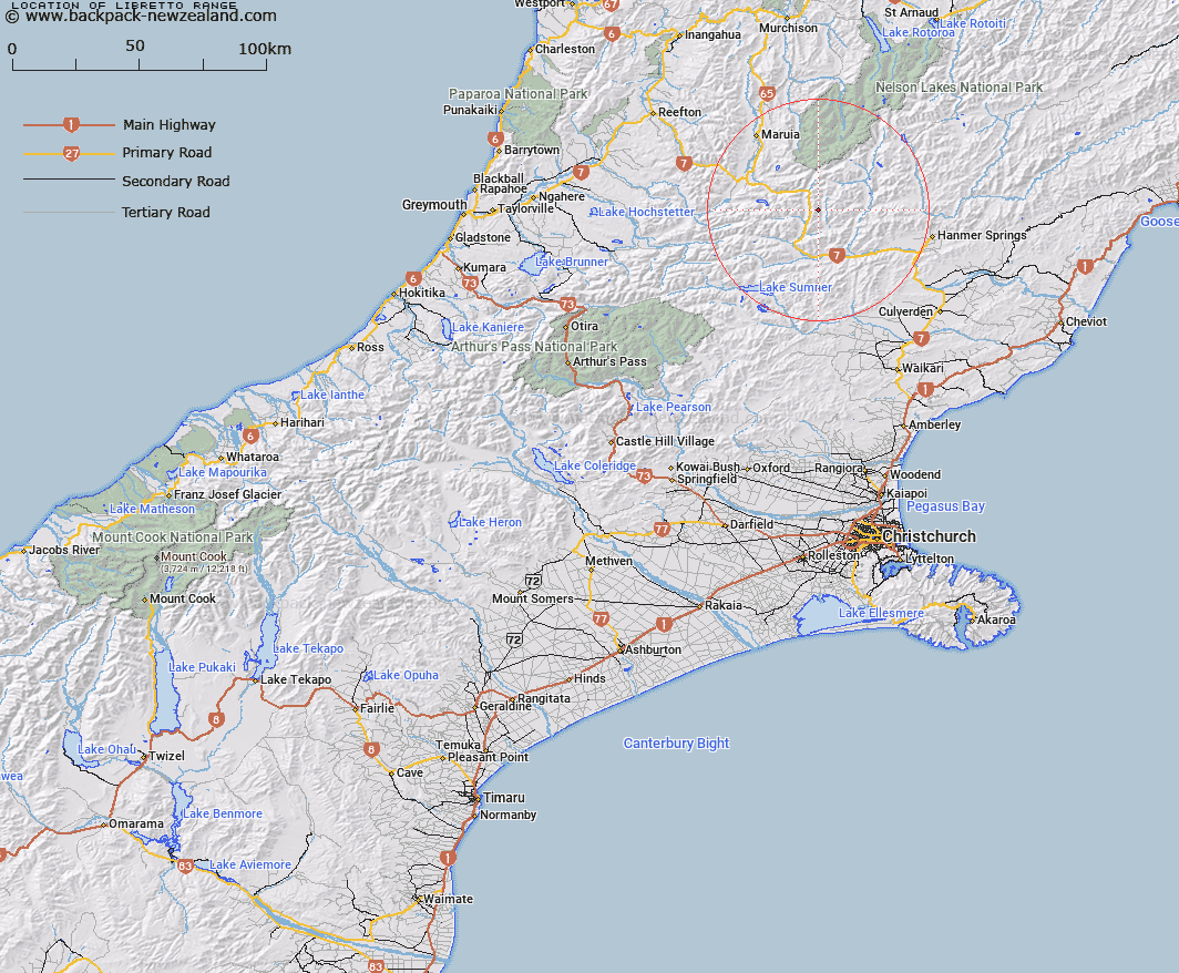
Map showing location of Libretto Range
LINZ description: Mountain range commencing at peak Trovatore [Trig. T (Geodetic Code A83T)], on the Spenser Mountains and extending southwards generally through Mount Lucia [Trig. S (Geodetic Code A840)], to peak Faust [Trig. F (Geodetic Code A83Y)]. Blocks VII, XI, and XV Boyle Survey District.
Latitude: -42.435626
Longitude: 172.435962
Northing: 5301700.8
Easting: 1553607.6
Land District: Canterbury
Feat Type: Range
Latitude: -42.435626
Longitude: 172.435962
Northing: 5301700.8
Easting: 1553607.6
Land District: Canterbury
Feat Type: Range

Scroll down to see a more detailed road map and below that a topographical map showing the location of Libretto Range. The road map has been supplied by openstreetmap and the topographical map of Libretto Range has been supplied by Land Information New Zealand (LINZ).
Yes you can use the top static map for you school/university project or personal website with a link back. Contact me for any commercial use.
[ A ] [ B ] [ C ] [ D ] [ E ] [ F ] [ G ] [ H ] [ I ] [ J ] [ K ] [ L ] [ M ] [ N ] [ O ] [ P ] [ Q ] [ R ] [ S ] [ T ] [ U ] [ V ] [ W ] [ X ] [ Y ] [ Z ]