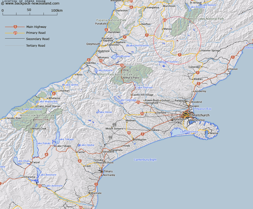
Map showing location of Opera Range
LINZ description: Mountain range commencing at a point (1755m) reference Topo50 BT23 535090, 1km North-east of Trovatore on the Spenser Mountains and extending southwards generally, east of the Boyle River, through Mount Esther [Trig. K (Geodetic Code A83R)], Anne Saddle (Geodetic Code ANR2), and peak Rokeby [Trig. R (Geodetic Code A7YX)], to Trig. BO (Geodetic Code B7BK), 2.8km East South-east of peak Martha. Blocks VII, VIII, XII, and XVI Boyle Survey District.
Latitude: -42.368721
Longitude: 172.46156
Northing: 5309143.4
Easting: 1555666
Land District: Canterbury
Feat Type: Range
Latitude: -42.368721
Longitude: 172.46156
Northing: 5309143.4
Easting: 1555666
Land District: Canterbury
Feat Type: Range

Scroll down to see a more detailed road map and below that a topographical map showing the location of Opera Range. The road map has been supplied by openstreetmap and the topographical map of Opera Range has been supplied by Land Information New Zealand (LINZ).
Yes you can use the top static map for you school/university project or personal website with a link back. Contact me for any commercial use.
[ A ] [ B ] [ C ] [ D ] [ E ] [ F ] [ G ] [ H ] [ I ] [ J ] [ K ] [ L ] [ M ] [ N ] [ O ] [ P ] [ Q ] [ R ] [ S ] [ T ] [ U ] [ V ] [ W ] [ X ] [ Y ] [ Z ]