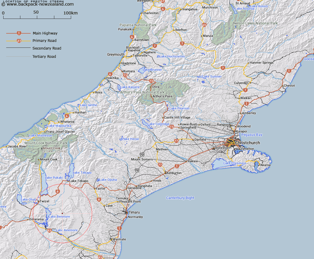
Map showing location of Preston Stream
LINZ description: Stream rising at the junction of Big Range and Little Range, 2km South-west of Trig. OO (Geodetic Code B2W7), flowing North-eastwards and joining Stony River 250m downstream of Moffat Stream. Gladstone Survey District.
Latitude: -44.404609
Longitude: 170.40977
Northing: 5079923.2
Easting: 1393745.5
Land District: Canterbury
Feat Type: Stream
Latitude: -44.404609
Longitude: 170.40977
Northing: 5079923.2
Easting: 1393745.5
Land District: Canterbury
Feat Type: Stream

Scroll down to see a more detailed road map and below that a topographical map showing the location of Preston Stream. The road map has been supplied by openstreetmap and the topographical map of Preston Stream has been supplied by Land Information New Zealand (LINZ).
Yes you can use the top static map for you school/university project or personal website with a link back. Contact me for any commercial use.
[ A ] [ B ] [ C ] [ D ] [ E ] [ F ] [ G ] [ H ] [ I ] [ J ] [ K ] [ L ] [ M ] [ N ] [ O ] [ P ] [ Q ] [ R ] [ S ] [ T ] [ U ] [ V ] [ W ] [ X ] [ Y ] [ Z ]