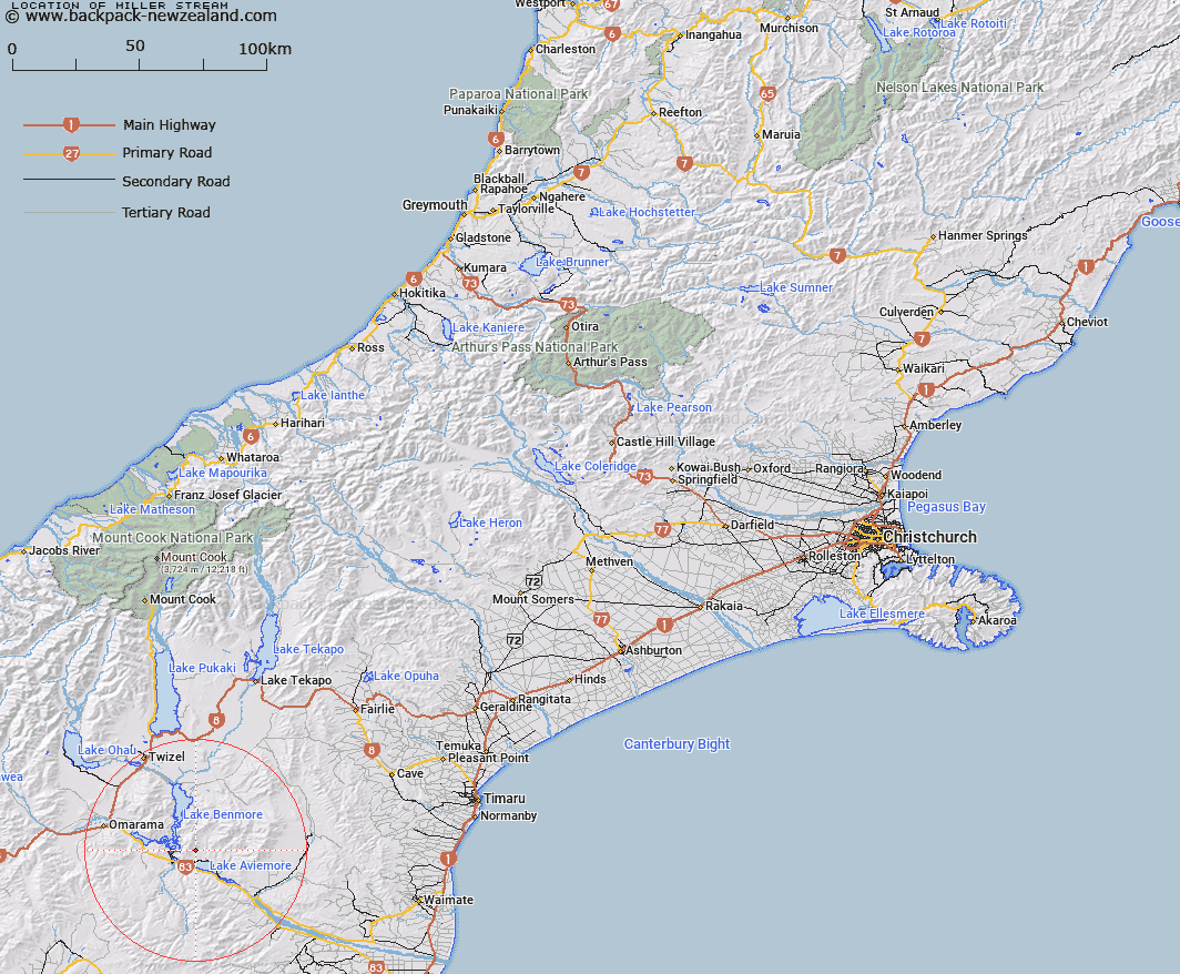
Map showing location of Miller Stream


LINZ description: Right bank tributary of Gibson Stream, rising 2km North by North-east of Trig. V (Geodetic Code AAFJ), flowing South-eastward and joining Gibson Stream 2.8km upstream of Lake Aviemore. Blocks XIV and XV, Hewlings Survey District.
Latitude: -44.566542
Longitude: 170.277611
Northing: 5061594
Easting: 1383821.2
Land District: Canterbury
Feat Type: Stream


Scroll down to see a more detailed road map and below that a topographical map showing the location of Miller Stream. The road map has been supplied by openstreetmap and the topographical map of Miller Stream has been supplied by Land Information New Zealand (LINZ).

Yes you can use the top static map for you school/university project or personal website with a link back. Contact me for any commercial use.

Miller Stream Map New Zealand


New Zealand places in our database
[ A ] [ B ] [ C ] [ D ] [ E ] [ F ] [ G ] [ H ] [ I ] [ J ] [ K ] [ L ] [ M ] [ N ] [ O ] [ P ] [ Q ] [ R ] [ S ] [ T ] [ U ] [ V ] [ W ] [ X ] [ Y ] [ Z ]


Closest 20 Streams to Miller Stream

Gibson Stream ( 2.26km )   Black Jack Stream ( 2.51km )   Whalan Stream ( 3.6km )   Te Akatarewa Stream ( 3.67km )   Sutton Stream ( 3.68km )   Glen Begg Stream ( 5.68km )   Stony Stream ( 6.79km )   Douglas Stream ( 7.25km )   Banks Stream ( 9.26km )   Dry Stream ( 9.56km )   Boundary Stream ( 9.8km )   Baker Creek ( 10.6km )   Rugged Ridges Creek ( 10.6km )   McRae Creek ( 11.33km )   Fraser Stream ( 11.71km )   Macleod Stream ( 12.11km )   Coal Stream ( 12.14km )   Coal Creek ( 12.22km )   Station Creek ( 12.75km )   Deep Stream ( 12.76km )   Parsons Rock Creek ( 12.77km )   Rattray Stream ( 12.79km )   Peak Valley Creek ( 13.36km )   Fern Gully Creek ( 13.89km )   Staircase Stream ( 14.25km )   Black Forest Stream ( 14.42km )   Otamatapaio River ( 14.88km )   Wharekuri Creek ( 15.14km )   Shepherds Creek ( 15.17km )   Clark Creek ( 15.54km )   Innes Burn ( 15.63km )   Hemphill Creek ( 16.04km )   Awahokomo Creek ( 17.82km )   Glen Creek ( 18.01km )   Totara Creek ( 18.08km )   Otematata River ( 18.5km )   Otamatakau River ( 18.5km )   Basin Stream ( 18.52km )   Camp Stream ( 19.3km )   Boxwood Stream ( 19.67km )