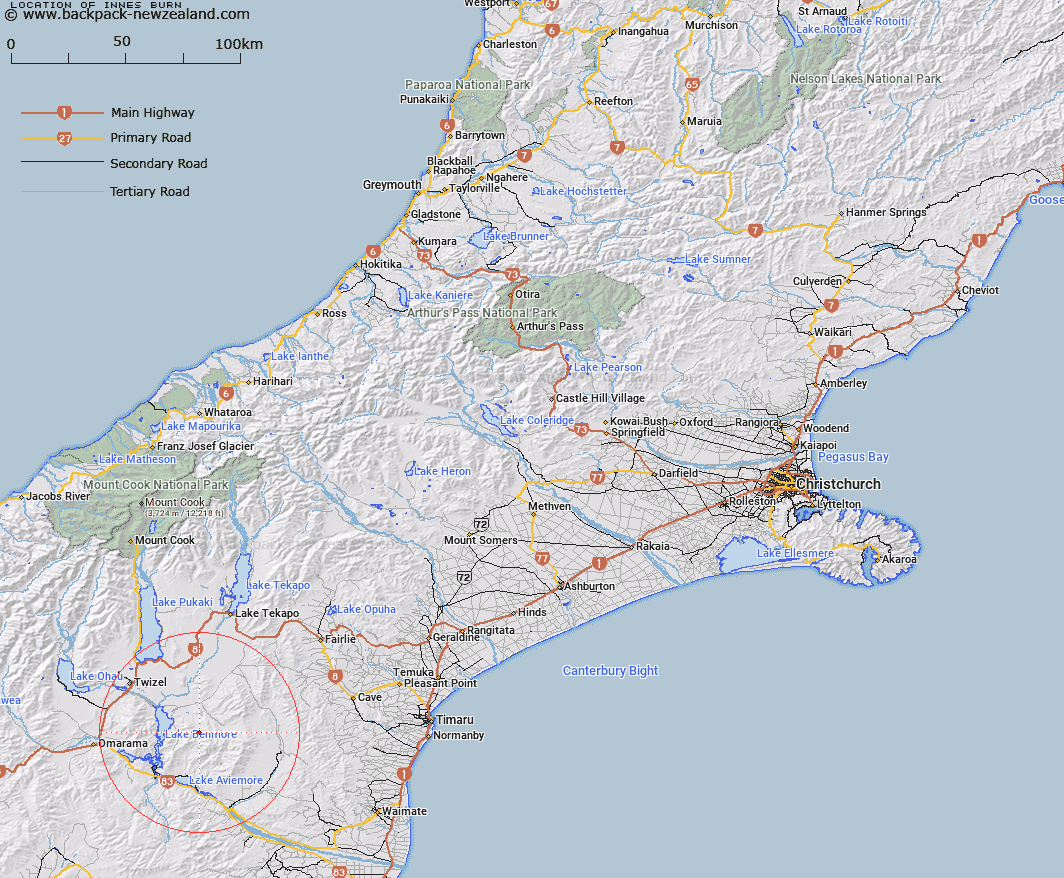
Map showing location of Innes Burn


LINZ description: Right bank tributary of Ross Stream rising North of Trig. T (Geodetic Code B2W9), flowing northwards, and joining Ross Stream 1.1km South of Brands Gully. Hewlings Survey District.
Latitude: -44.440288
Longitude: 170.364246
Northing: 5075844.2
Easting: 1390248.2
Land District: Canterbury
Feat Type: Stream


Scroll down to see a more detailed road map and below that a topographical map showing the location of Innes Burn. The road map has been supplied by openstreetmap and the topographical map of Innes Burn has been supplied by Land Information New Zealand (LINZ).

Yes you can use the top static map for you school/university project or personal website with a link back. Contact me for any commercial use.

Innes Burn Map New Zealand


New Zealand places in our database
[ A ] [ B ] [ C ] [ D ] [ E ] [ F ] [ G ] [ H ] [ I ] [ J ] [ K ] [ L ] [ M ] [ N ] [ O ] [ P ] [ Q ] [ R ] [ S ] [ T ] [ U ] [ V ] [ W ] [ X ] [ Y ] [ Z ]


Closest 20 Streams to Innes Burn

Staircase Stream ( 4.96km )   Preston Stream ( 5.37km )   Ross Stream ( 5.37km )   Black Forest Stream ( 6.04km )   Basin Stream ( 6.42km )   Douglas Stream ( 9km )   Hay Stream ( 9.39km )   Stony River ( 10.98km )   Balloon Stream ( 11.89km )   Pringle Stream ( 11.95km )   Moffat Stream ( 12.84km )   Sutton Stream ( 13.04km )   Black Jack Stream ( 13.41km )   Coal Creek ( 14.78km )   Stony Stream ( 14.87km )   Gibson Stream ( 14.98km )   Deep Stream ( 15.33km )   Miller Stream ( 15.63km )   Camp Creek ( 16.07km )   Scrubby Creek ( 16.3km )   Shepherds Creek ( 16.59km )   Tekapo River ( 17.28km )   Whalan Stream ( 17.33km )   Morton Stream ( 17.61km )   Rattray Stream ( 17.62km )   Falstone Creek ( 18.11km )   Grampian Stream ( 18.2km )   Fraser Stream ( 18.34km )   Te Akatarewa Stream ( 19.3km )   Peak Valley Creek ( 19.32km )   Macleod Stream ( 19.73km )   Dunstan Stream ( 20.68km )   Glen Begg Stream ( 21km )   Dalgety Stream ( 21.59km )   Potato Creek ( 21.82km )   Station Stream ( 22km )   Totara Creek ( 22.2km )   Coal Stream ( 22.54km )   Gorman Stream ( 22.65km )   Hemphill Creek ( 23.03km )