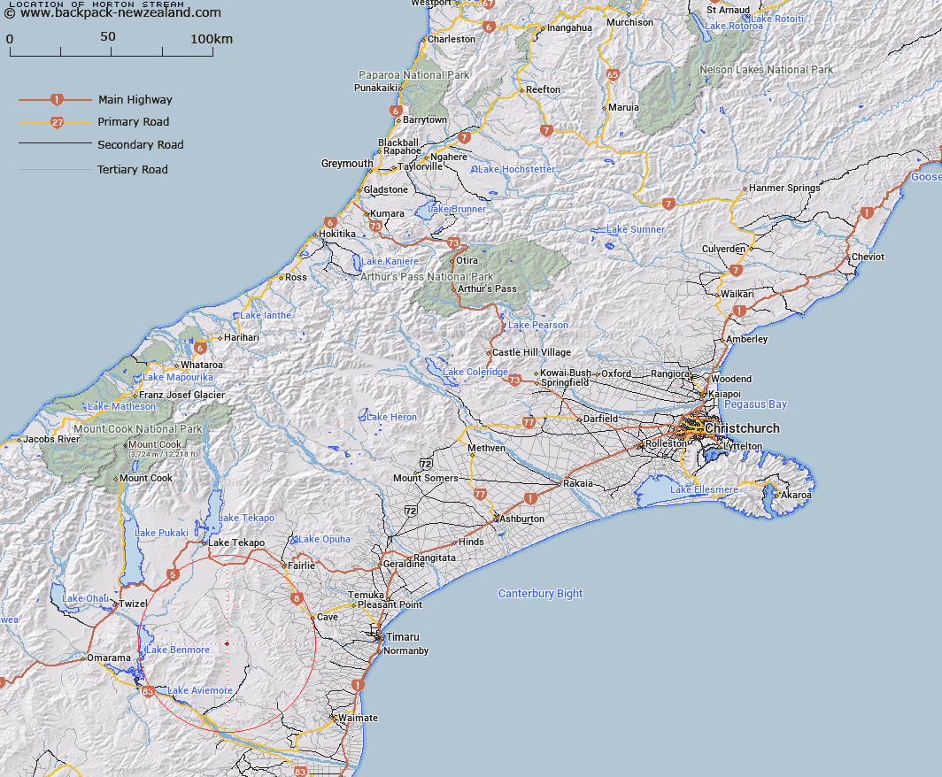
Map showing location of Morton Stream


LINZ description: Stream rising in the Kirkliston Range, East of Trig. G (Geodetic Code B2VB), flowing South-eastwards and joining Grampian Stream 2.9km North of Round Hill. Dalzell Survey District.
Latitude: -44.42201
Longitude: 170.5846
Northing: 5078416.1
Easting: 1407724.1
Land District: Canterbury
Feat Type: Stream


Scroll down to see a more detailed road map and below that a topographical map showing the location of Morton Stream. The road map has been supplied by openstreetmap and the topographical map of Morton Stream has been supplied by Land Information New Zealand (LINZ).

Yes you can use the top static map for you school/university project or personal website with a link back. Contact me for any commercial use.

Morton Stream Map New Zealand


New Zealand places in our database
[ A ] [ B ] [ C ] [ D ] [ E ] [ F ] [ G ] [ H ] [ I ] [ J ] [ K ] [ L ] [ M ] [ N ] [ O ] [ P ] [ Q ] [ R ] [ S ] [ T ] [ U ] [ V ] [ W ] [ X ] [ Y ] [ Z ]


Closest 20 Streams to Morton Stream

Dunstan Stream ( 3.22km )   Grampian Stream ( 4.59km )   Pringle Stream ( 5.72km )   MacGregor Stream ( 6.77km )   Gorman Stream ( 7.4km )   Scour Stream ( 7.67km )   Longden Stream ( 8.19km )   Hay Stream ( 8.26km )   Two Legged Stream ( 8.31km )   Two Mile Stream ( 8.55km )   Anderson Stream ( 9.43km )   Nessing Stream ( 10.16km )   Cattle Creek ( 10.2km )   Peter Stream ( 10.65km )   Balloon Stream ( 11.07km )   Dalgety Stream ( 11.37km )   Basin Stream ( 11.57km )   Marsack Stream ( 12.45km )   Massack Stream ( 12.45km )   Rocky Point Stream ( 12.57km )   Wyatt Stream ( 13.27km )   Moffat Stream ( 13.3km )   Preston Stream ( 14.02km )   Hawkey Stream ( 16.44km )   Hankey Stream ( 16.44km )   Hakataramea River ( 16.8km )   Opawa River ( 17.09km )   McKays Stream ( 17.12km )   Innes Burn ( 17.61km )   Deadman Stream ( 17.74km )   Matson Stream ( 17.8km )   Poplar Stream ( 18.12km )   Station Stream ( 18.25km )   Ross Stream ( 19.06km )   North Branch Waihao River ( 19.12km )   Fett Stream ( 19.36km )   Kennaway Stream ( 19.6km )   Deep Stream ( 19.89km )   Potato Creek ( 20.04km )   Francis Stream ( 20.06km )