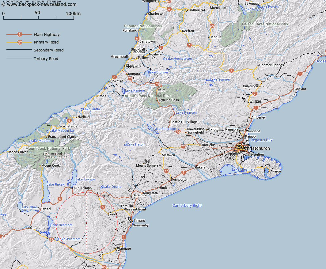
Map showing location of Scour Stream


LINZ description: Stream rising on north side of Hunters Hills near Trig K. Flows west into Hakataramea River just west of Hakataramea Down Station.
Latitude: -44.420705
Longitude: 170.681218
Northing: 5078783.6
Easting: 1415411.3
Land District: Canterbury
Feat Type: Stream


Scroll down to see a more detailed road map and below that a topographical map showing the location of Scour Stream. The road map has been supplied by openstreetmap and the topographical map of Scour Stream has been supplied by Land Information New Zealand (LINZ).

Yes you can use the top static map for you school/university project or personal website with a link back. Contact me for any commercial use.

Scour Stream Map New Zealand


New Zealand places in our database
[ A ] [ B ] [ C ] [ D ] [ E ] [ F ] [ G ] [ H ] [ I ] [ J ] [ K ] [ L ] [ M ] [ N ] [ O ] [ P ] [ Q ] [ R ] [ S ] [ T ] [ U ] [ V ] [ W ] [ X ] [ Y ] [ Z ]


Closest 20 Streams to Scour Stream

Anderson Stream ( 1.87km )   Two Mile Stream ( 3.08km )   Two Legged Stream ( 3.29km )   Dunstan Stream ( 4.95km )   MacGregor Stream ( 5.56km )   Wyatt Stream ( 5.95km )   Longden Stream ( 6.17km )   Gorman Stream ( 6.35km )   Peter Stream ( 6.54km )   Nessing Stream ( 6.58km )   Morton Stream ( 7.67km )   Grampian Stream ( 9.32km )   Cattle Creek ( 9.68km )   Marsack Stream ( 10.07km )   Massack Stream ( 10.07km )   Matson Stream ( 10.3km )   Francis Stream ( 12.5km )   Opawa River ( 12.89km )   Rocky Point Stream ( 12.95km )   Pringle Stream ( 13.32km )   Nimrod Stream ( 13.79km )   Dalgety Stream ( 13.92km )   Motukaika River ( 14.14km )   North Branch Waihao River ( 14.15km )   Blue Duck Stream ( 15.61km )   White Rock River ( 15.88km )   Hay Stream ( 15.93km )   Hakataramea River ( 16.3km )   McKays Stream ( 16.56km )   Mathias Stream ( 16.74km )   Balloon Stream ( 17.86km )   Kennaway Stream ( 18.09km )   Hankey Stream ( 18.25km )   Hawkey Stream ( 18.25km )   Poplar Stream ( 18.39km )   Deadman Stream ( 18.95km )   Cannington Stream ( 18.99km )   Maungati Stream ( 19.1km )   Basin Stream ( 19.1km )   Mawaro Creek ( 19.3km )