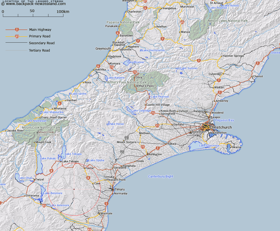
Map showing location of Two Legged Stream


LINZ description: Stream running from Hunter Hills west into Hakatarainea River opposite Round Hill Homestead.
Latitude: -44.391149
Longitude: 170.679879
Northing: 5082063.6
Easting: 1415211.6
Land District: Canterbury
Feat Type: Stream


Scroll down to see a more detailed road map and below that a topographical map showing the location of Two Legged Stream. The road map has been supplied by openstreetmap and the topographical map of Two Legged Stream has been supplied by Land Information New Zealand (LINZ).

Yes you can use the top static map for you school/university project or personal website with a link back. Contact me for any commercial use.

Two Legged Stream Map New Zealand


New Zealand places in our database
[ A ] [ B ] [ C ] [ D ] [ E ] [ F ] [ G ] [ H ] [ I ] [ J ] [ K ] [ L ] [ M ] [ N ] [ O ] [ P ] [ Q ] [ R ] [ S ] [ T ] [ U ] [ V ] [ W ] [ X ] [ Y ] [ Z ]


Closest 20 Streams to Two Legged Stream

MacGregor Stream ( 3.19km )   Longden Stream ( 3.19km )   Scour Stream ( 3.29km )   Nessing Stream ( 3.29km )   Anderson Stream ( 4.39km )   Dunstan Stream ( 5.09km )   Two Mile Stream ( 6.36km )   Massack Stream ( 6.78km )   Marsack Stream ( 6.78km )   Wyatt Stream ( 8km )   Grampian Stream ( 8.18km )   Morton Stream ( 8.31km )   Gorman Stream ( 9.38km )   Peter Stream ( 9.82km )   Opawa River ( 9.88km )   Matson Stream ( 9.95km )   Dalgety Stream ( 11.37km )   Francis Stream ( 12.25km )   Cattle Creek ( 12.82km )   Hakataramea River ( 13.07km )   Blue Duck Stream ( 13.1km )   Pringle Stream ( 13.97km )   Nimrod Stream ( 14.59km )   Kennaway Stream ( 14.8km )   Hawkey Stream ( 15.33km )   Hankey Stream ( 15.33km )   Motukaika River ( 15.67km )   Rocky Point Stream ( 16.06km )   Mathias Stream ( 16.19km )   Hay Stream ( 16.27km )   White Rock River ( 16.3km )   Blainslie Stream ( 16.49km )   Chamberlain Stream ( 16.85km )   Balloon Stream ( 16.9km )   North Branch Waihao River ( 17.11km )   Mawaro Creek ( 17.36km )   Coal Creek ( 17.36km )   Delamain Stream ( 17.5km )   Exe Stream ( 17.51km )   Cannington Stream ( 17.98km )