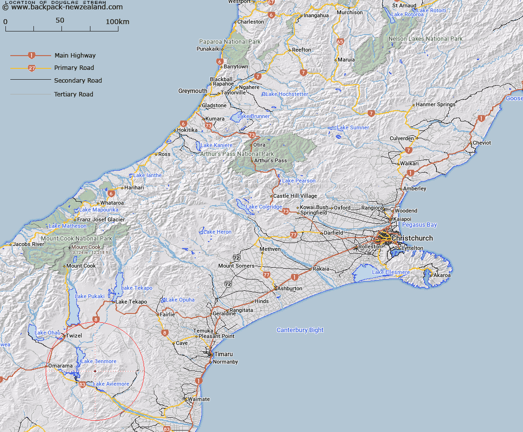
Map showing location of Douglas Stream
LINZ description: Left bank tributary of Sutton Stream, rising 2km South-west of Mount Sutton in the Hakataramea Valley, north of Lake Aviemore [Trig. I (Geodetic Code AAFM)], flowing South-westwards and joining Sutton Stream 3.5km West of Trig. F (Geodetic Code AAFL). Hewlings Survey District.
Latitude: -44.519522
Longitude: 170.341
Northing: 5066983.1
Easting: 1388684.6
Land District: Canterbury
Feat Type: Stream
Latitude: -44.519522
Longitude: 170.341
Northing: 5066983.1
Easting: 1388684.6
Land District: Canterbury
Feat Type: Stream

Scroll down to see a more detailed road map and below that a topographical map showing the location of Douglas Stream. The road map has been supplied by openstreetmap and the topographical map of Douglas Stream has been supplied by Land Information New Zealand (LINZ).
Yes you can use the top static map for you school/university project or personal website with a link back. Contact me for any commercial use.
[ A ] [ B ] [ C ] [ D ] [ E ] [ F ] [ G ] [ H ] [ I ] [ J ] [ K ] [ L ] [ M ] [ N ] [ O ] [ P ] [ Q ] [ R ] [ S ] [ T ] [ U ] [ V ] [ W ] [ X ] [ Y ] [ Z ]