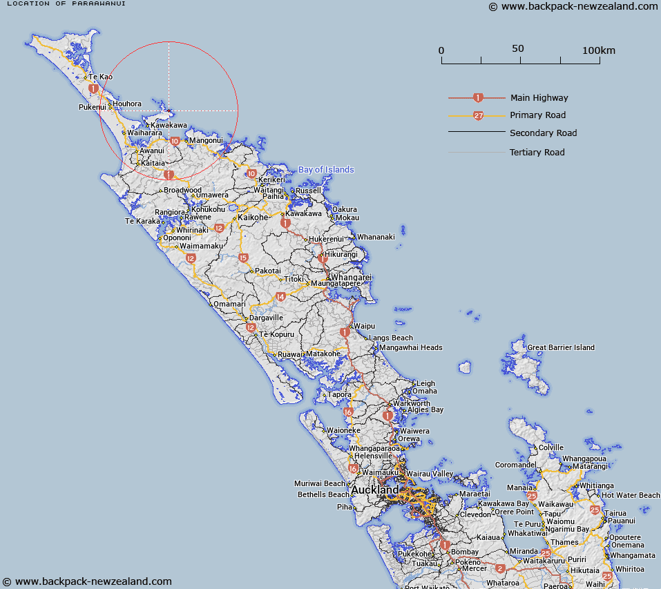
Map showing location of Paraawanui
LINZ description: Trig. Station situated on coastal ridge between Takini Point and Tapakakeno Point, near the head of the Poroa Stream. Geodetic Code 1390. Karikari Survey District.
Latitude: -34.830504
Longitude: 173.435416
Northing: 6145666.7
Easting: 1639814.3
Land District: North Auckland
Feat Type: Trig Station
Latitude: -34.830504
Longitude: 173.435416
Northing: 6145666.7
Easting: 1639814.3
Land District: North Auckland
Feat Type: Trig Station

Scroll down to see a more detailed road map and below that a topographical map showing the location of Paraawanui. The road map has been supplied by openstreetmap and the topographical map of Paraawanui has been supplied by Land Information New Zealand (LINZ).
Yes you can use the top static map for you school/university project or personal website with a link back. Contact me for any commercial use.
[ A ] [ B ] [ C ] [ D ] [ E ] [ F ] [ G ] [ H ] [ I ] [ J ] [ K ] [ L ] [ M ] [ N ] [ O ] [ P ] [ Q ] [ R ] [ S ] [ T ] [ U ] [ V ] [ W ] [ X ] [ Y ] [ Z ]