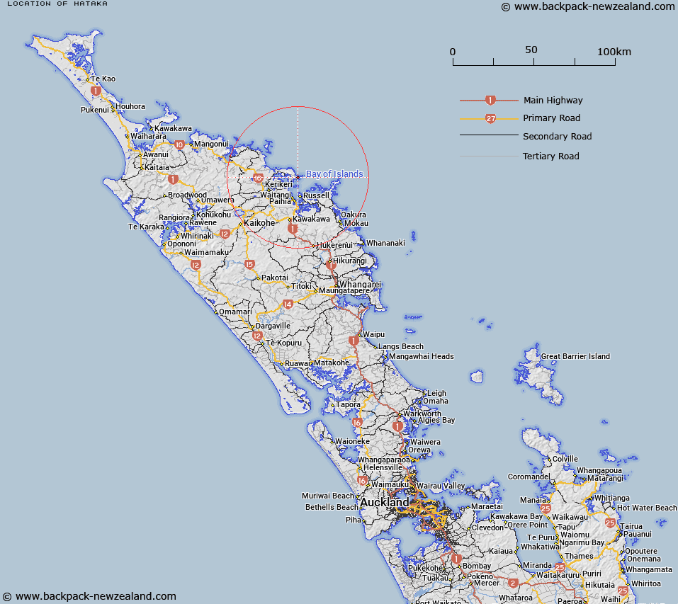
Map showing location of Mataka
LINZ description: South east of the Purerua Peninsula north of the Bay of Islands. Trig A2BM at 258m height.
Latitude: -35.161306
Longitude: 174.114476
Northing: 6108500
Easting: 1701500
Land District: North Auckland
Feat Type: Trig Station
Latitude: -35.161306
Longitude: 174.114476
Northing: 6108500
Easting: 1701500
Land District: North Auckland
Feat Type: Trig Station

Scroll down to see a more detailed road map and below that a topographical map showing the location of Mataka. The road map has been supplied by openstreetmap and the topographical map of Mataka has been supplied by Land Information New Zealand (LINZ).
Yes you can use the top static map for you school/university project or personal website with a link back. Contact me for any commercial use.
[ A ] [ B ] [ C ] [ D ] [ E ] [ F ] [ G ] [ H ] [ I ] [ J ] [ K ] [ L ] [ M ] [ N ] [ O ] [ P ] [ Q ] [ R ] [ S ] [ T ] [ U ] [ V ] [ W ] [ X ] [ Y ] [ Z ]