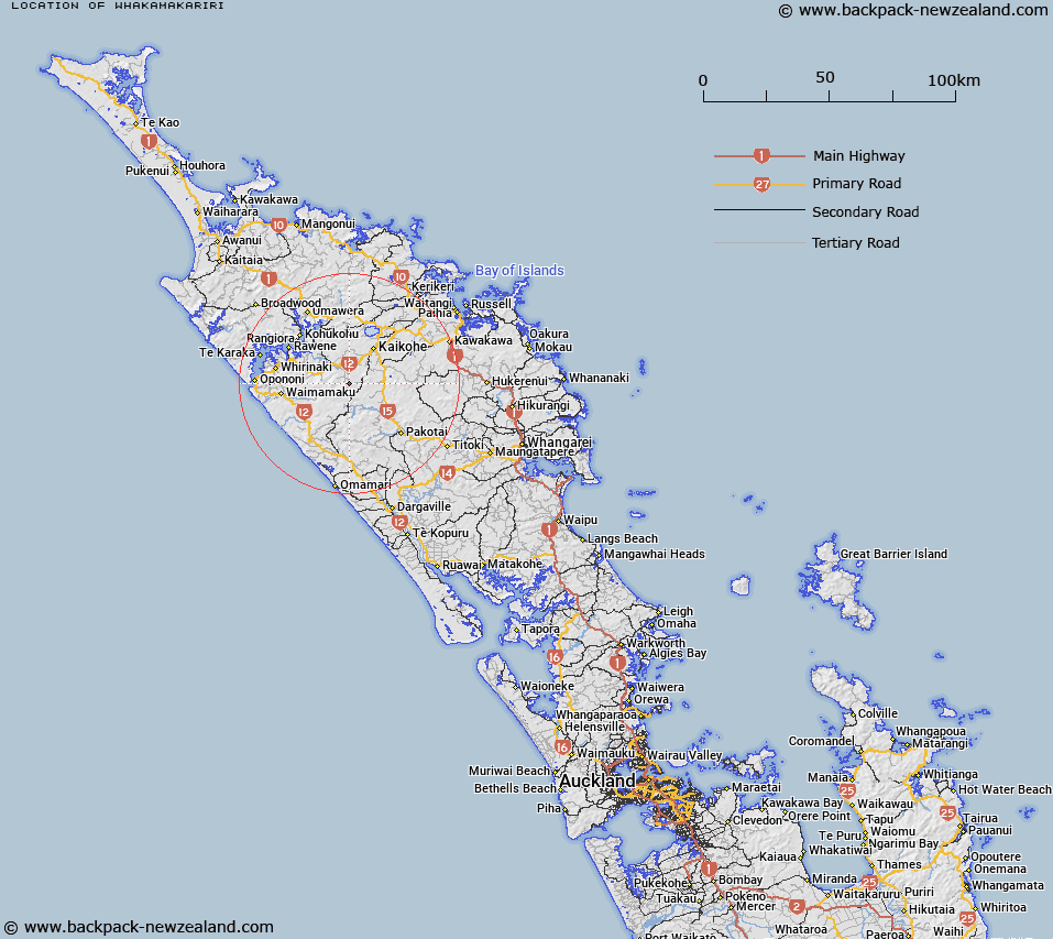
Map showing location of Whakamakariri
LINZ description: Trig station with code AJM2 and oder 12. Located north of Wharepunga Road, near intersection with Parrott RD in Otaua.
Latitude: -35.522235
Longitude: 173.719249
Northing: 6068802.7
Easting: 1665213.5
Land District: North Auckland
Feat Type: Trig Station
Latitude: -35.522235
Longitude: 173.719249
Northing: 6068802.7
Easting: 1665213.5
Land District: North Auckland
Feat Type: Trig Station

Scroll down to see a more detailed road map and below that a topographical map showing the location of Whakamakariri. The road map has been supplied by openstreetmap and the topographical map of Whakamakariri has been supplied by Land Information New Zealand (LINZ).
Yes you can use the top static map for you school/university project or personal website with a link back. Contact me for any commercial use.
[ A ] [ B ] [ C ] [ D ] [ E ] [ F ] [ G ] [ H ] [ I ] [ J ] [ K ] [ L ] [ M ] [ N ] [ O ] [ P ] [ Q ] [ R ] [ S ] [ T ] [ U ] [ V ] [ W ] [ X ] [ Y ] [ Z ]