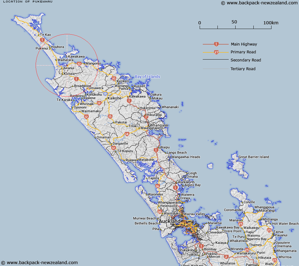
Map showing location of Pukewhau
LINZ description: Trig NE of intersection of Waikare and Waiterimu Roads, SE Lake Waikare (geodetic code: A2LC)
Latitude: -35.01091
Longitude: 173.321132
Northing: 6125700
Easting: 1629300
Land District: North Auckland
Feat Type: Trig Station
Latitude: -35.01091
Longitude: 173.321132
Northing: 6125700
Easting: 1629300
Land District: North Auckland
Feat Type: Trig Station

Scroll down to see a more detailed road map and below that a topographical map showing the location of Pukewhau. The road map has been supplied by openstreetmap and the topographical map of Pukewhau has been supplied by Land Information New Zealand (LINZ).
Yes you can use the top static map for you school/university project or personal website with a link back. Contact me for any commercial use.
[ A ] [ B ] [ C ] [ D ] [ E ] [ F ] [ G ] [ H ] [ I ] [ J ] [ K ] [ L ] [ M ] [ N ] [ O ] [ P ] [ Q ] [ R ] [ S ] [ T ] [ U ] [ V ] [ W ] [ X ] [ Y ] [ Z ]