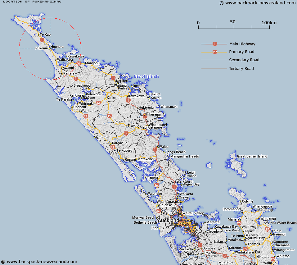
Map showing location of Pukehangihau
LINZ description: Hill name across from trig Oronowahainu. About the locality of Pukenui. Block XI Houhora Survey District.
Latitude: -34.818016
Longitude: 173.119234
Northing: 6147131.5
Easting: 1610904.3
Land District: North Auckland
Feat Type: Trig Station
Latitude: -34.818016
Longitude: 173.119234
Northing: 6147131.5
Easting: 1610904.3
Land District: North Auckland
Feat Type: Trig Station

Scroll down to see a more detailed road map and below that a topographical map showing the location of Pukehangihau. The road map has been supplied by openstreetmap and the topographical map of Pukehangihau has been supplied by Land Information New Zealand (LINZ).
Yes you can use the top static map for you school/university project or personal website with a link back. Contact me for any commercial use.
[ A ] [ B ] [ C ] [ D ] [ E ] [ F ] [ G ] [ H ] [ I ] [ J ] [ K ] [ L ] [ M ] [ N ] [ O ] [ P ] [ Q ] [ R ] [ S ] [ T ] [ U ] [ V ] [ W ] [ X ] [ Y ] [ Z ]