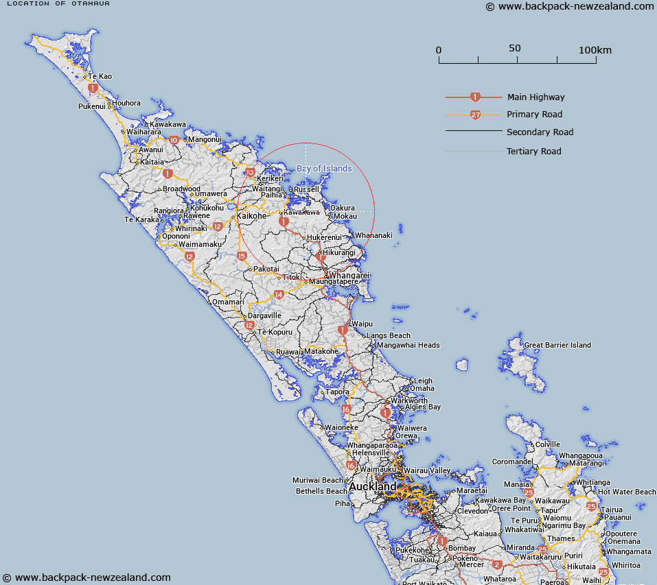
Map showing location of Otamaua


LINZ description: Geodetic code B2FG at 311m height due east of Karetu
Latitude: -35.375903
Longitude: 174.207689
Northing: 6084600
Easting: 1709700
Land District: North Auckland
Feat Type: Trig Station


Scroll down to see a more detailed road map and below that a topographical map showing the location of Otamaua. The road map has been supplied by openstreetmap and the topographical map of Otamaua has been supplied by Land Information New Zealand (LINZ).

Yes you can use the top static map for you school/university project or personal website with a link back. Contact me for any commercial use.

Otamaua Map New Zealand


New Zealand places in our database
[ A ] [ B ] [ C ] [ D ] [ E ] [ F ] [ G ] [ H ] [ I ] [ J ] [ K ] [ L ] [ M ] [ N ] [ O ] [ P ] [ Q ] [ R ] [ S ] [ T ] [ U ] [ V ] [ W ] [ X ] [ Y ] [ Z ]


Closest 20 Trig Stations to Otamaua

Tikitikiora ( 11.17km )   Tikitikioure ( 11.17km )   Kawakawa ( 13.08km )   Patakorokoro ( 25km )   Mataka ( 25.32km )   Hikurangi ( 25.6km )   Te Ahuahu ( 33.51km )   Whakamakariri ( 47.14km )   Takapuwahia ( 49.87km )   Teheoriri ( 50.55km )   Tehe o Riri ( 50.55km )   Te Rotomanoao ( 52.69km )   Ruaroa ( 54.51km )   Whakatere ( 55.5km )   Raeroa ( 55.5km )   Ratorutoru ( 57.74km )   Ririwha ( 59.99km )   Mangawhero ( 62.13km )   Karangi ( 63.98km )   Takitumu ( 63.98km )   Te Umukukupa ( 65.93km )   Maungatawhiri ( 67.94km )   Turiwiri ( 69.07km )   Hohanga ( 69.72km )   Te Whiro ( 70.03km )   Maungaroa ( 72.1km )   Mangaroa ( 72.1km )   Kaiwaikawe ( 73.62km )   Mahora ( 76.25km )   Kaingaroa ( 89.13km )   Pukewhau ( 90.21km )   Mangawhai ( 91.95km )   Mangawai ( 91.95km )   Koware No. 2 ( 92.81km )   Paraawanui ( 92.81km )   Kumete Bluff ( 98.45km )   Houhora ( 113.65km )   Pukehangihau ( 116.85km )   Pukeangihau ( 116.85km )   Te Rokotai ( 123.71km )