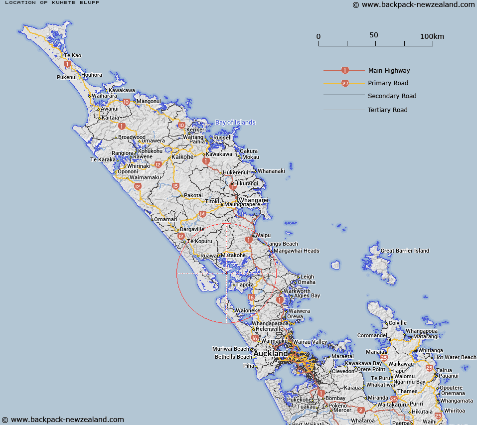
Map showing location of Kumete Bluff
LINZ description: Trig. Station Kumete Bluff No2 (Geodetic Code AM38) at The Bluff on the Northwestern entrance to the Otamatea River in Kaipara Harbour.
Latitude: -36.260812
Longitude: 174.242766
Northing: 5986406.8
Easting: 1711640.2
Land District: North Auckland
Feat Type: Trig Station
Latitude: -36.260812
Longitude: 174.242766
Northing: 5986406.8
Easting: 1711640.2
Land District: North Auckland
Feat Type: Trig Station

Scroll down to see a more detailed road map and below that a topographical map showing the location of Kumete Bluff. The road map has been supplied by openstreetmap and the topographical map of Kumete Bluff has been supplied by Land Information New Zealand (LINZ).
Yes you can use the top static map for you school/university project or personal website with a link back. Contact me for any commercial use.
[ A ] [ B ] [ C ] [ D ] [ E ] [ F ] [ G ] [ H ] [ I ] [ J ] [ K ] [ L ] [ M ] [ N ] [ O ] [ P ] [ Q ] [ R ] [ S ] [ T ] [ U ] [ V ] [ W ] [ X ] [ Y ] [ Z ]