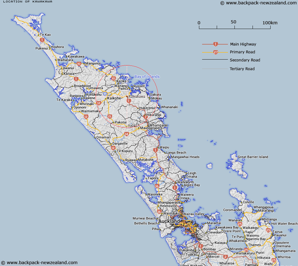
Map showing location of Kawakawa
LINZ description: Trig A429 at 229m height south-west of the Whangae River and east of the Okarari Stream.
Latitude: -35.380865
Longitude: 174.063542
Northing: 6084200
Easting: 1696600
Land District: North Auckland
Feat Type: Trig Station
Latitude: -35.380865
Longitude: 174.063542
Northing: 6084200
Easting: 1696600
Land District: North Auckland
Feat Type: Trig Station

Scroll down to see a more detailed road map and below that a topographical map showing the location of Kawakawa. The road map has been supplied by openstreetmap and the topographical map of Kawakawa has been supplied by Land Information New Zealand (LINZ).
Yes you can use the top static map for you school/university project or personal website with a link back. Contact me for any commercial use.
[ A ] [ B ] [ C ] [ D ] [ E ] [ F ] [ G ] [ H ] [ I ] [ J ] [ K ] [ L ] [ M ] [ N ] [ O ] [ P ] [ Q ] [ R ] [ S ] [ T ] [ U ] [ V ] [ W ] [ X ] [ Y ] [ Z ]