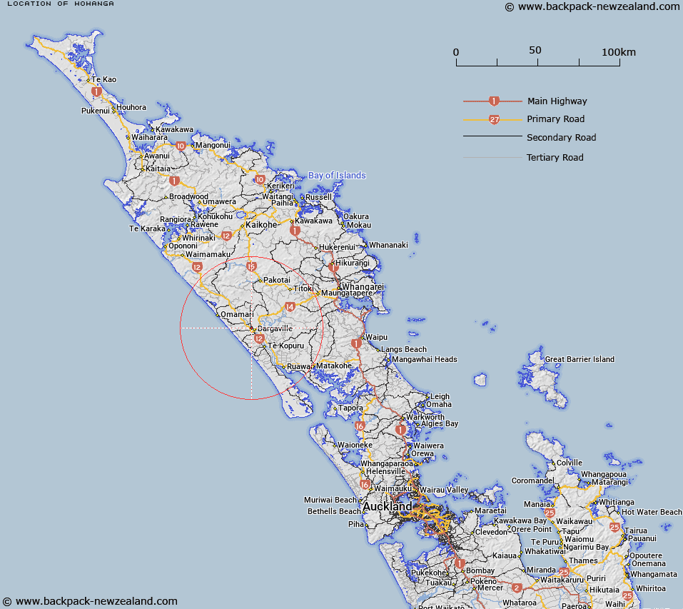
Map showing location of Hohanga


LINZ description: Site of Trig 38c
Latitude: -35.932523
Longitude: 173.852499
Northing: 6023200
Easting: 1676900
Land District: North Auckland
Feat Type: Trig Station


Scroll down to see a more detailed road map and below that a topographical map showing the location of Hohanga. The road map has been supplied by openstreetmap and the topographical map of Hohanga has been supplied by Land Information New Zealand (LINZ).

Yes you can use the top static map for you school/university project or personal website with a link back. Contact me for any commercial use.

Hohanga Map New Zealand


New Zealand places in our database
[ A ] [ B ] [ C ] [ D ] [ E ] [ F ] [ G ] [ H ] [ I ] [ J ] [ K ] [ L ] [ M ] [ N ] [ O ] [ P ] [ Q ] [ R ] [ S ] [ T ] [ U ] [ V ] [ W ] [ X ] [ Y ] [ Z ]


Closest 20 Trig Stations to Hohanga

Turiwiri ( 4.85km )   Mahora ( 8.16km )   Maungatawhiri ( 8.88km )   Kaiwaikawe ( 10.86km )   Te Whiro ( 15.68km )   Ruaroa ( 20.31km )   Whakamakariri ( 47.18km )   Whakatere ( 49.67km )   Raeroa ( 49.67km )   Patakorokoro ( 50.15km )   Kumete Bluff ( 50.62km )   Hikurangi ( 54.14km )   Mangawhero ( 58.16km )   Kawakawa ( 64.24km )   Te Ahuahu ( 65.87km )   Otamaua ( 69.72km )   Mangawhai ( 70.39km )   Mangawai ( 70.39km )   Te Rokotai ( 71.09km )   Tikitikiora ( 77.14km )   Tikitikioure ( 77.14km )   Te Rotomanoao ( 84.01km )   Takapuwahia ( 84.12km )   Mataka ( 88.97km )   Ratorutoru ( 91.6km )   Tehe o Riri ( 99.65km )   Teheoriri ( 99.65km )   Paehoka ( 102.5km )   Karangi ( 106.61km )   Takitumu ( 106.61km )   Ririwha ( 108.01km )   Mangaroa ( 108.76km )   Maungaroa ( 108.76km )   Te Umukukupa ( 109.67km )   Kaingaroa ( 111.31km )   Pukewhau ( 113.21km )   Koware No. 2 ( 128.24km )   Paraawanui ( 128.24km )   Ninepins ( 137.24km )   Nine Pins ( 137.24km )