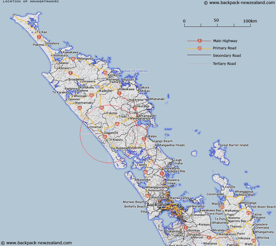
Map showing location of Maungatawhiri


LINZ description: Site of Trig 738 on west bank of Manganui River
Latitude: -35.949544
Longitude: 173.948881
Northing: 6021231.8
Easting: 1685576
Land District: North Auckland
Feat Type: Trig Station


Scroll down to see a more detailed road map and below that a topographical map showing the location of Maungatawhiri. The road map has been supplied by openstreetmap and the topographical map of Maungatawhiri has been supplied by Land Information New Zealand (LINZ).

Yes you can use the top static map for you school/university project or personal website with a link back. Contact me for any commercial use.

Maungatawhiri Map New Zealand


New Zealand places in our database
[ A ] [ B ] [ C ] [ D ] [ E ] [ F ] [ G ] [ H ] [ I ] [ J ] [ K ] [ L ] [ M ] [ N ] [ O ] [ P ] [ Q ] [ R ] [ S ] [ T ] [ U ] [ V ] [ W ] [ X ] [ Y ] [ Z ]


Closest 20 Trig Stations to Maungatawhiri

Turiwiri ( 4.08km )   Te Whiro ( 7.09km )   Hohanga ( 8.88km )   Ruaroa ( 14.55km )   Mahora ( 16.21km )   Kaiwaikawe ( 19.73km )   Kumete Bluff ( 43.53km )   Hikurangi ( 49.69km )   Patakorokoro ( 50.92km )   Whakamakariri ( 51.84km )   Whakatere ( 55.47km )   Raeroa ( 55.47km )   Mangawai ( 61.59km )   Mangawhai ( 61.59km )   Kawakawa ( 64.08km )   Mangawhero ( 64.45km )   Te Rokotai ( 65.5km )   Otamaua ( 67.94km )   Te Ahuahu ( 68.45km )   Tikitikioure ( 76.31km )   Tikitikiora ( 76.31km )   Takapuwahia ( 87.72km )   Te Rotomanoao ( 87.93km )   Mataka ( 88.92km )   Ratorutoru ( 95.54km )   Paehoka ( 96.42km )   Teheoriri ( 102.04km )   Tehe o Riri ( 102.04km )   Takitumu ( 109.98km )   Karangi ( 109.98km )   Ririwha ( 110.74km )   Mangaroa ( 112.88km )   Maungaroa ( 112.88km )   Te Umukukupa ( 112.98km )   Kaingaroa ( 116.99km )   Pukewhau ( 118.84km )   Nine Pins ( 132.06km )   Ninepin ( 132.06km )   Ninepins ( 132.06km )   Koware No. 2 ( 132.85km )