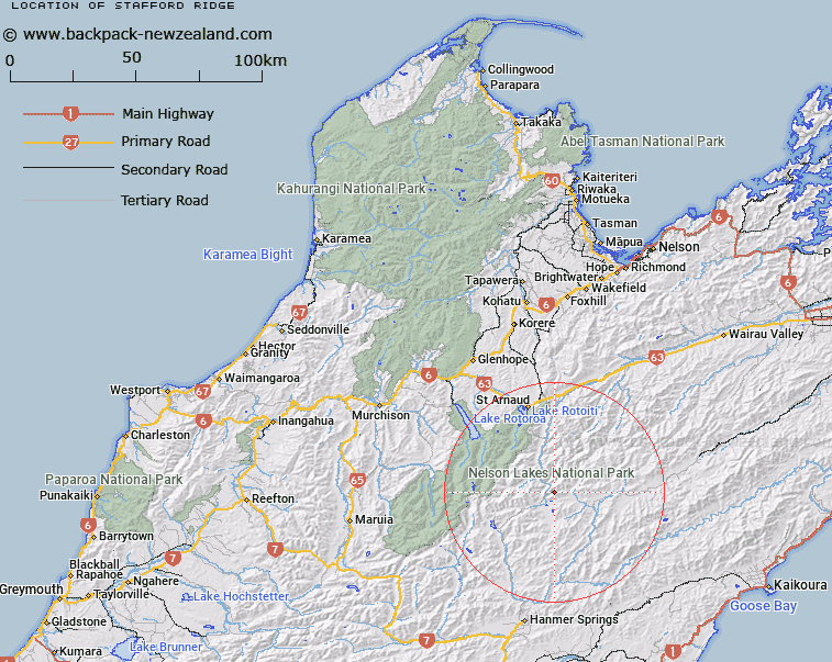
Map showing location of Stafford Ridge
LINZ description: Mountain ridge extending from peak 2055m at reference Topo50 BS25 970422 in the Raglan Range, south westerly towards the junction of Wairau River and Horse Gully through Trig BW (Geodetic Code A6H3), to approximately height 1555m at reference Topo50 936388, 1.7km North-east of the junction of Wairau River and Horse Gully. Blocks VIII and XII Rainbow, and Blocks IV and VII Wairau Survey Districts.
Latitude: -42.091022
Longitude: 172.935602
Northing: 5340115.6
Easting: 1594674.3
Land District: Nelson
Feat Type: Ridge
Latitude: -42.091022
Longitude: 172.935602
Northing: 5340115.6
Easting: 1594674.3
Land District: Nelson
Feat Type: Ridge

Scroll down to see a more detailed road map and below that a topographical map showing the location of Stafford Ridge. The road map has been supplied by openstreetmap and the topographical map of Stafford Ridge has been supplied by Land Information New Zealand (LINZ).
Yes you can use the top static map for you school/university project or personal website with a link back. Contact me for any commercial use.
[ A ] [ B ] [ C ] [ D ] [ E ] [ F ] [ G ] [ H ] [ I ] [ J ] [ K ] [ L ] [ M ] [ N ] [ O ] [ P ] [ Q ] [ R ] [ S ] [ T ] [ U ] [ V ] [ W ] [ X ] [ Y ] [ Z ]