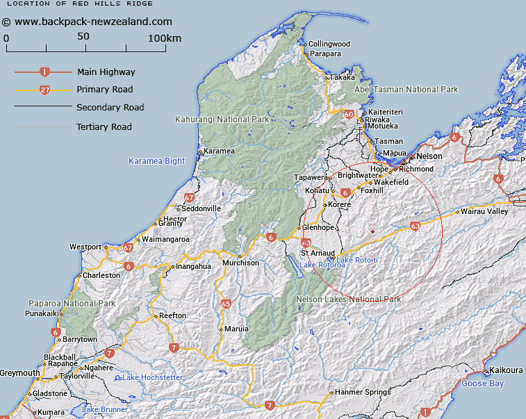
Map showing location of Red Hills Ridge
LINZ description: Mountain ridge extending North-easterly from Trig. N (Geodetic Code A4BF) near the Wairau River, to Red Hill Trig. (Geodetic Code 1187) and being part of Richmond Range. Block XIII Rintoul, Block XVI Gordon, Blocks IV and VIII Motupiko, Block XI Patriarch, and Block II Raglan Survey Districts.
Latitude: -41.667629
Longitude: 173.057248
Northing: 5387123.9
Easting: 1604765.7
Land District: Nelson
Feat Type: Ridge
Latitude: -41.667629
Longitude: 173.057248
Northing: 5387123.9
Easting: 1604765.7
Land District: Nelson
Feat Type: Ridge

Scroll down to see a more detailed road map and below that a topographical map showing the location of Red Hills Ridge. The road map has been supplied by openstreetmap and the topographical map of Red Hills Ridge has been supplied by Land Information New Zealand (LINZ).
Yes you can use the top static map for you school/university project or personal website with a link back. Contact me for any commercial use.
[ A ] [ B ] [ C ] [ D ] [ E ] [ F ] [ G ] [ H ] [ I ] [ J ] [ K ] [ L ] [ M ] [ N ] [ O ] [ P ] [ Q ] [ R ] [ S ] [ T ] [ U ] [ V ] [ W ] [ X ] [ Y ] [ Z ]