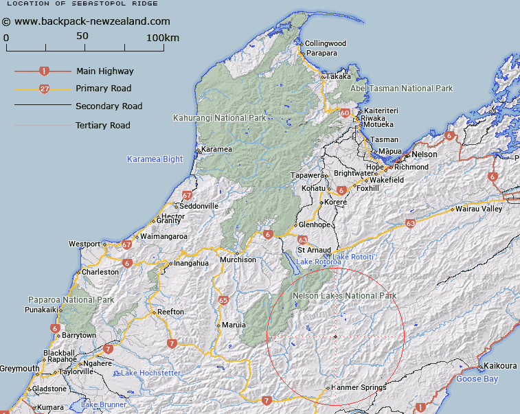
Map showing location of Sebastopol Ridge
LINZ description: Mountain ridge south of Crimea Creek extending eastward from peak 2020m at reference Topo50 BT25 887218 in the Crimea Range through Mount Sebastopol [Trig. I (Geodetic Code 1430)], to peak 1591m at reference Topo50 BT25 928235. Blocks X and XI Alma Survey District.
Latitude: -42.248026
Longitude: 172.872569
Northing: 5322677.2
Easting: 1589487.5
Land District: Nelson
Feat Type: Ridge
Latitude: -42.248026
Longitude: 172.872569
Northing: 5322677.2
Easting: 1589487.5
Land District: Nelson
Feat Type: Ridge

Scroll down to see a more detailed road map and below that a topographical map showing the location of Sebastopol Ridge. The road map has been supplied by openstreetmap and the topographical map of Sebastopol Ridge has been supplied by Land Information New Zealand (LINZ).
Yes you can use the top static map for you school/university project or personal website with a link back. Contact me for any commercial use.
[ A ] [ B ] [ C ] [ D ] [ E ] [ F ] [ G ] [ H ] [ I ] [ J ] [ K ] [ L ] [ M ] [ N ] [ O ] [ P ] [ Q ] [ R ] [ S ] [ T ] [ U ] [ V ] [ W ] [ X ] [ Y ] [ Z ]