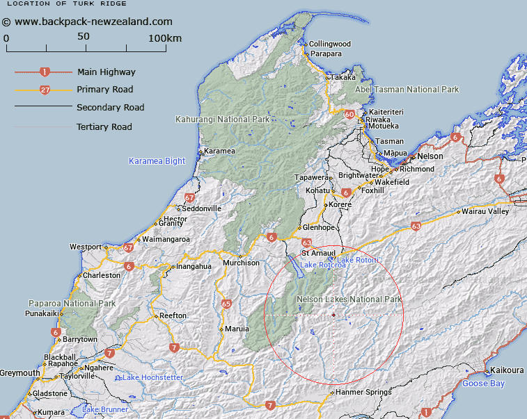
Map showing location of Turk Ridge
LINZ description: Mountain ridge North of the Wairau River, extending North-eastward from Mount Dora (2167m) on the Crimea Range through Mount Weld and Trig. CR (Geodetic Code A6H4) to Turk Mountain. Blocks VII, VIII, IX, X, XI, and XIII Rainbow Survey District.
Latitude: -42.110633
Longitude: 172.838555
Northing: 5337927.6
Easting: 1586652.7
Land District: Nelson
Feat Type: Ridge
Latitude: -42.110633
Longitude: 172.838555
Northing: 5337927.6
Easting: 1586652.7
Land District: Nelson
Feat Type: Ridge

Scroll down to see a more detailed road map and below that a topographical map showing the location of Turk Ridge. The road map has been supplied by openstreetmap and the topographical map of Turk Ridge has been supplied by Land Information New Zealand (LINZ).
Yes you can use the top static map for you school/university project or personal website with a link back. Contact me for any commercial use.
[ A ] [ B ] [ C ] [ D ] [ E ] [ F ] [ G ] [ H ] [ I ] [ J ] [ K ] [ L ] [ M ] [ N ] [ O ] [ P ] [ Q ] [ R ] [ S ] [ T ] [ U ] [ V ] [ W ] [ X ] [ Y ] [ Z ]