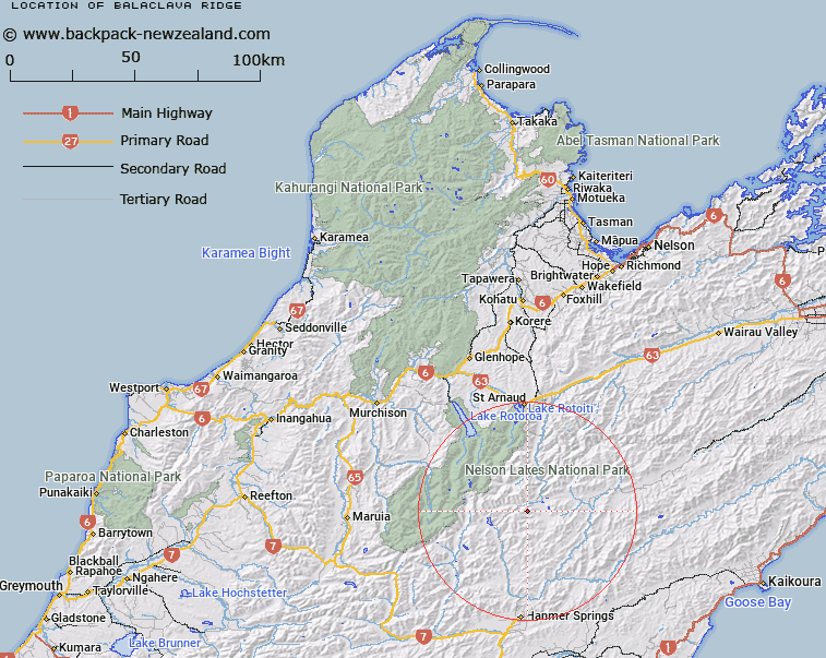
Map showing location of Balaclava Ridge
LINZ description: Ridge extending generally North-eastward from the Crimea Range, 1.5km West South-west of Mount Balaclava [Trig. X (Geodetic Code B1PV)], through Mount Balaclava towards the Wairau River, to the peak 1751m high, 1.8km North-west of Mount Tarndale [Trig. T (Geodetic Code A6HM)]. Block II Alma, and Blocks XV and XVI Rainbow Survey District.
Latitude: -42.165534
Longitude: 172.856662
Northing: 5331834.5
Easting: 1588159.9
Land District: Nelson
Feat Type: Ridge
Latitude: -42.165534
Longitude: 172.856662
Northing: 5331834.5
Easting: 1588159.9
Land District: Nelson
Feat Type: Ridge

Scroll down to see a more detailed road map and below that a topographical map showing the location of Balaclava Ridge. The road map has been supplied by openstreetmap and the topographical map of Balaclava Ridge has been supplied by Land Information New Zealand (LINZ).
Yes you can use the top static map for you school/university project or personal website with a link back. Contact me for any commercial use.
[ A ] [ B ] [ C ] [ D ] [ E ] [ F ] [ G ] [ H ] [ I ] [ J ] [ K ] [ L ] [ M ] [ N ] [ O ] [ P ] [ Q ] [ R ] [ S ] [ T ] [ U ] [ V ] [ W ] [ X ] [ Y ] [ Z ]