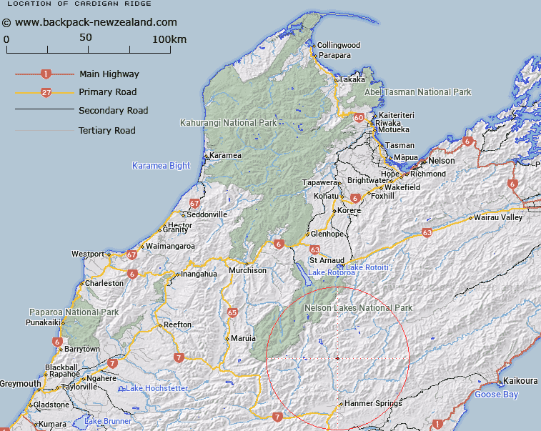
Map showing location of Cardigan Ridge
LINZ description: Ridge extending south-westerly from Peak (1964m) in the Crimea Range, 4.1km West of Mount Sebastopol [Trig. I (Geodetic Code 1430)], through Black Serpent Peak [Trig. H (Geodetic Code A7YL)] to Eulalie Mound [Trig. B (Geodetic Code A7YM)]. Partly in Canterbury Land District. Blocks IX and XIII Alma Survey District.
Latitude: -42.286364
Longitude: 172.81077
Northing: 5318411
Easting: 1584398.9
Land District: Nelson
Feat Type: Ridge
Latitude: -42.286364
Longitude: 172.81077
Northing: 5318411
Easting: 1584398.9
Land District: Nelson
Feat Type: Ridge

Scroll down to see a more detailed road map and below that a topographical map showing the location of Cardigan Ridge. The road map has been supplied by openstreetmap and the topographical map of Cardigan Ridge has been supplied by Land Information New Zealand (LINZ).
Yes you can use the top static map for you school/university project or personal website with a link back. Contact me for any commercial use.
[ A ] [ B ] [ C ] [ D ] [ E ] [ F ] [ G ] [ H ] [ I ] [ J ] [ K ] [ L ] [ M ] [ N ] [ O ] [ P ] [ Q ] [ R ] [ S ] [ T ] [ U ] [ V ] [ W ] [ X ] [ Y ] [ Z ]