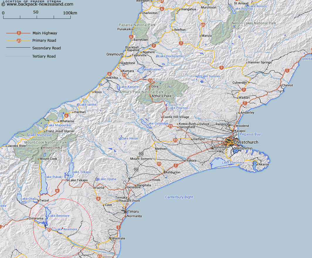
Map showing location of Fraser Stream


LINZ description: Stream flowing into Deep Stream at boundary of Waitangi Station north of Macleod Stream.
Latitude: -44.600777
Longitude: 170.417487
Northing: 5058152.3
Easting: 1395049
Land District: Canterbury
Feat Type: Stream


Scroll down to see a more detailed road map and below that a topographical map showing the location of Fraser Stream. The road map has been supplied by openstreetmap and the topographical map of Fraser Stream has been supplied by Land Information New Zealand (LINZ).

Yes you can use the top static map for you school/university project or personal website with a link back. Contact me for any commercial use.

Fraser Stream Map New Zealand


New Zealand places in our database
[ A ] [ B ] [ C ] [ D ] [ E ] [ F ] [ G ] [ H ] [ I ] [ J ] [ K ] [ L ] [ M ] [ N ] [ O ] [ P ] [ Q ] [ R ] [ S ] [ T ] [ U ] [ V ] [ W ] [ X ] [ Y ] [ Z ]


Closest 20 Streams to Fraser Stream

Macleod Stream ( 1.47km )   Rattray Stream ( 1.84km )   Deep Stream ( 4.06km )   Coal Stream ( 5.17km )   Stony Stream ( 5.26km )   Potato Creek ( 8.79km )   Sutton Stream ( 9.34km )   Gibson Stream ( 9.53km )   Baker Creek ( 9.75km )   Black Jack Stream ( 10.58km )   Dry Stream ( 10.64km )   Douglas Stream ( 10.88km )   Station Stream ( 10.96km )   McRae Creek ( 11.12km )   Wharekuri Creek ( 11.2km )   Boundary Stream ( 11.57km )   Banks Stream ( 11.58km )   Miller Stream ( 11.71km )   Padkins Stream ( 11.75km )   Awahokomo Creek ( 12.3km )   Fern Gully Creek ( 12.33km )   Belfield Stream ( 12.4km )   Te Akatarewa Stream ( 12.58km )   Farm Stream ( 12.97km )   Kirkliston Stream ( 13.01km )   Rugged Ridges Creek ( 14.3km )   Deadman Stream ( 14.66km )   Whalan Stream ( 15.21km )   Glen Begg Stream ( 15.32km )   Little Awakino River ( 16.58km )   Parsons Rock Creek ( 16.69km )   Awakino River ( 16.73km )   Poplar Stream ( 16.9km )   Basin Stream ( 16.93km )   Station Creek ( 17.39km )   Awakino River West Branch ( 17.71km )   Sisters Creek North Branch ( 18.06km )   Sisters Creek South Branch ( 18.27km )   Innes Burn ( 18.34km )   Rocky Point Stream ( 18.4km )