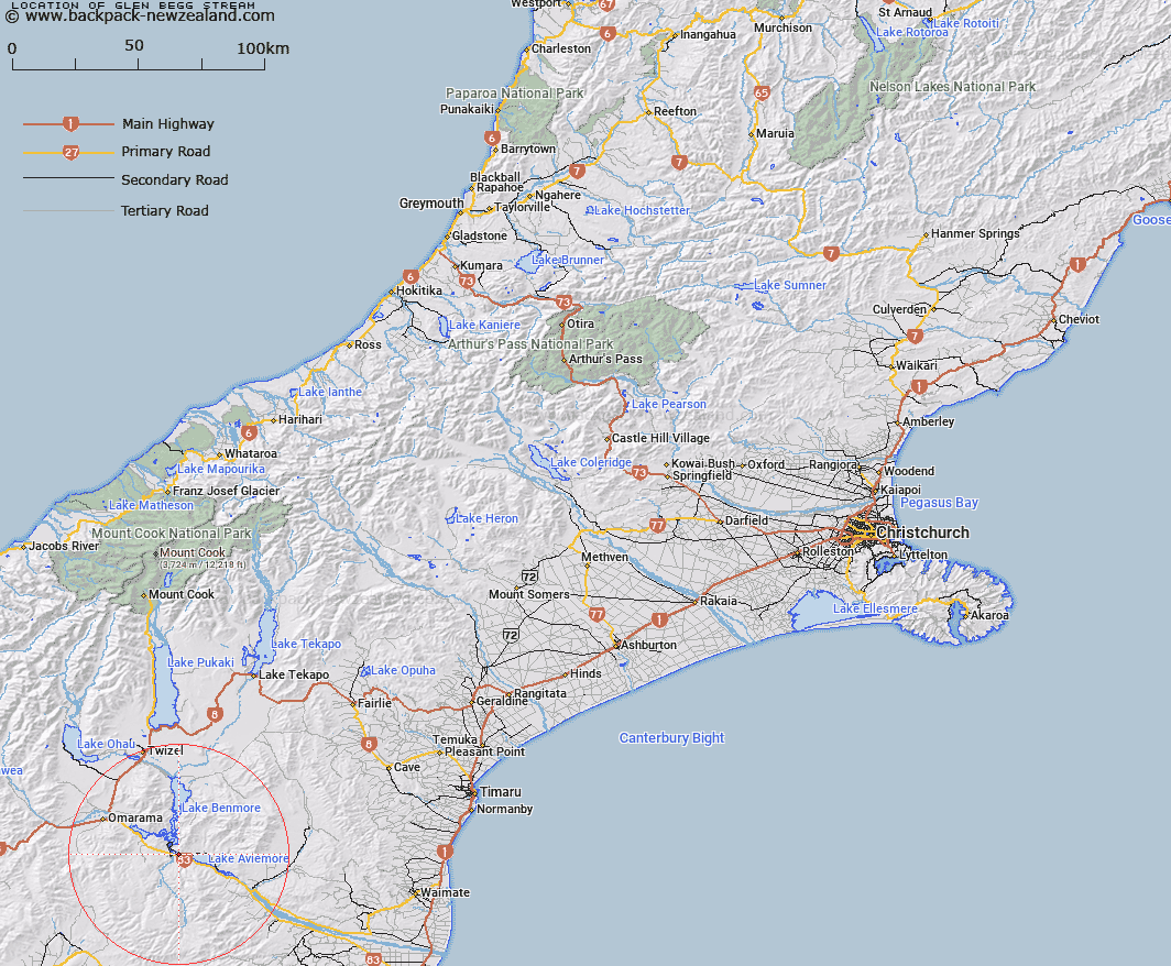
Map showing location of Glen Begg Stream


LINZ description: Stream rising on west side of Trig. F north-west of Lake Aviemore flows west into Waitaki River - Opposite Otemetata
Latitude: -44.600518
Longitude: 170.224036
Northing: 5057676.6
Easting: 1379695.3
Land District: Canterbury
Feat Type: Stream


Scroll down to see a more detailed road map and below that a topographical map showing the location of Glen Begg Stream. The road map has been supplied by openstreetmap and the topographical map of Glen Begg Stream has been supplied by Land Information New Zealand (LINZ).

Yes you can use the top static map for you school/university project or personal website with a link back. Contact me for any commercial use.

Glen Begg Stream Map New Zealand


New Zealand places in our database
[ A ] [ B ] [ C ] [ D ] [ E ] [ F ] [ G ] [ H ] [ I ] [ J ] [ K ] [ L ] [ M ] [ N ] [ O ] [ P ] [ Q ] [ R ] [ S ] [ T ] [ U ] [ V ] [ W ] [ X ] [ Y ] [ Z ]


Closest 20 Streams to Glen Begg Stream

Glen Begg Stream ( 0km )   Te Akatarewa Stream ( 2.78km )   Whalan Stream ( 4.05km )   Miller Stream ( 5.68km )   Rugged Ridges Creek ( 7.22km )   Gibson Stream ( 7.41km )   Banks Stream ( 7.44km )   Boundary Stream ( 8.01km )   Black Jack Stream ( 8.19km )   Station Creek ( 8.24km )   Dry Stream ( 8.36km )   Parsons Rock Creek ( 8.62km )   Sutton Stream ( 9.25km )   Baker Creek ( 9.95km )   McRae Creek ( 9.97km )   Otamatapaio River ( 11.22km )   Stony Stream ( 11.36km )   Fern Gully Creek ( 12.33km )   Clark Creek ( 12.4km )   Douglas Stream ( 12.92km )   Peak Valley Creek ( 13.05km )   Otamatakau River ( 13.73km )   Otematata River ( 13.73km )   Coal Stream ( 13.79km )   Coal Creek ( 13.92km )   Wharekuri Creek ( 14.44km )   Hemphill Creek ( 14.54km )   Glen Creek ( 14.73km )   Camp Stream ( 14.93km )   Macleod Stream ( 15.22km )   Fraser Stream ( 15.32km )   Corbies Creek ( 15.8km )   Shepherds Creek ( 16.45km )   Boxwood Stream ( 16.58km )   Rattray Stream ( 16.79km )   Awahokomo Creek ( 17.34km )   Deep Stream ( 17.39km )   Shaw Creek ( 17.51km )   Totara Creek ( 17.57km )   Black Forest Stream ( 18.87km )