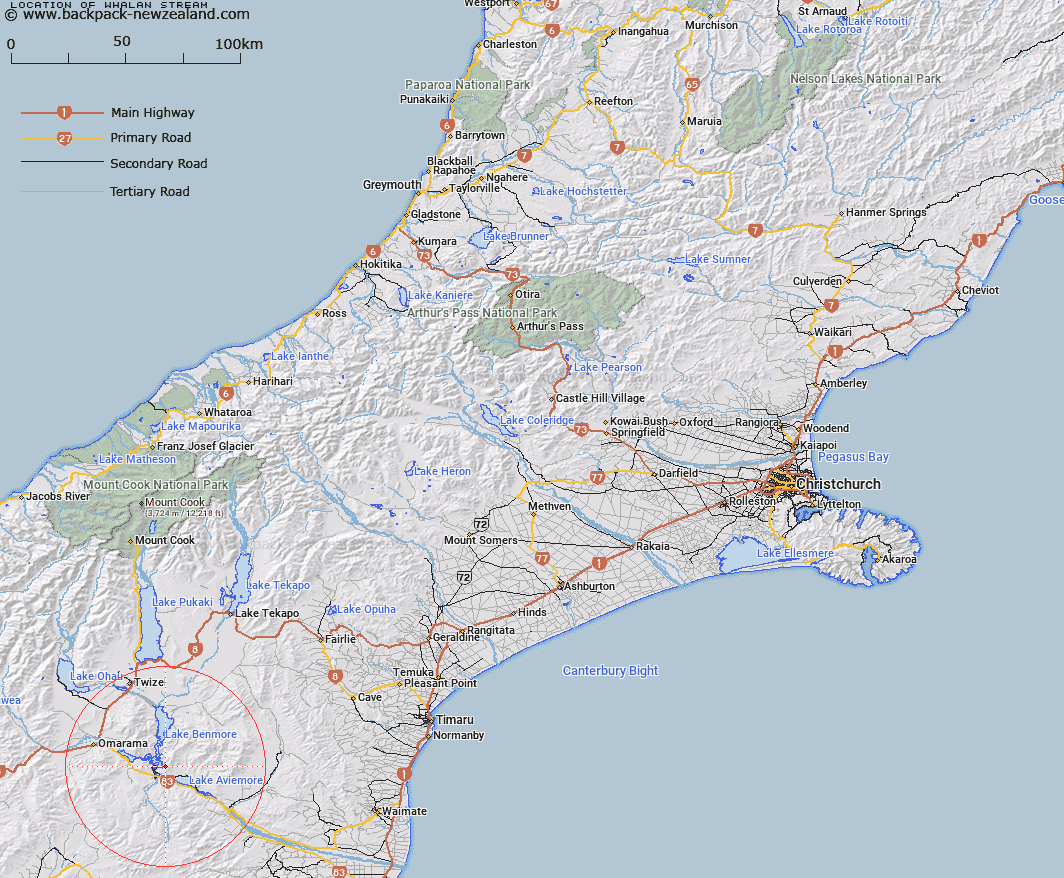
Map showing location of Whalan Stream
LINZ description: Stream rising 2.8km East of Sugar Loaf [Trig. J (Geodetic Code AAFC), flowing South-westward into an inlet on the eastern shore of Lake Benmore 2km East of Benmore Dam. Blocks XIII and XIV, Hewlings Survey District. Feature shown on: NZMS260 I39 Edition 1 1991
Latitude: -44.564546
Longitude: 170.232295
Northing: 5061694.7
Easting: 1380215.2
Land District: Canterbury
Feat Type: Stream
Latitude: -44.564546
Longitude: 170.232295
Northing: 5061694.7
Easting: 1380215.2
Land District: Canterbury
Feat Type: Stream

Scroll down to see a more detailed road map and below that a topographical map showing the location of Whalan Stream. The road map has been supplied by openstreetmap and the topographical map of Whalan Stream has been supplied by Land Information New Zealand (LINZ).
Yes you can use the top static map for you school/university project or personal website with a link back. Contact me for any commercial use.
[ A ] [ B ] [ C ] [ D ] [ E ] [ F ] [ G ] [ H ] [ I ] [ J ] [ K ] [ L ] [ M ] [ N ] [ O ] [ P ] [ Q ] [ R ] [ S ] [ T ] [ U ] [ V ] [ W ] [ X ] [ Y ] [ Z ]